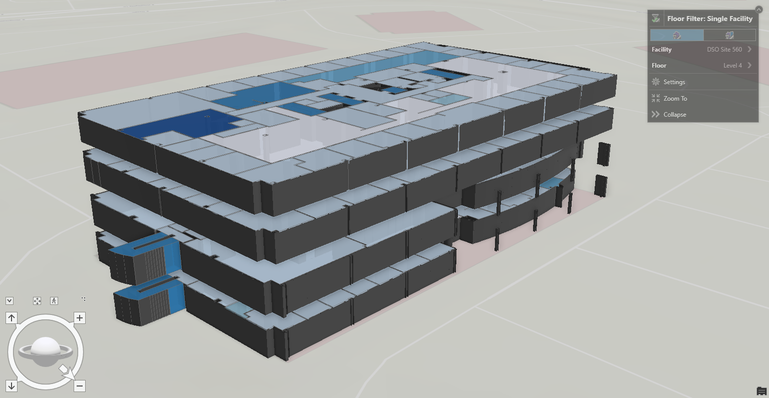
Organize and Use Your Data with GIS Built for Real-World Workflows
Bring Your Data Together in One System of record
GIS connects CAD, BIM, field data, existing records, assets, and business systems in a structured, location-based environment
GIS connects information from multiple sources, including CAD drawings, BIM models, field data, existing records, and business systems into a structured, location-based environment. This allows teams to understand where things are, what they are, how they relate, and how they change over time.
Instead of working across disconnected files and platforms, teams can manage, analyze, and share information in one place, supporting asset management, planning, operations, and long-term decision-making.
GIS also provides the foundation for digital twins, advanced analysis, and custom applications that extend how data is used across an organization.
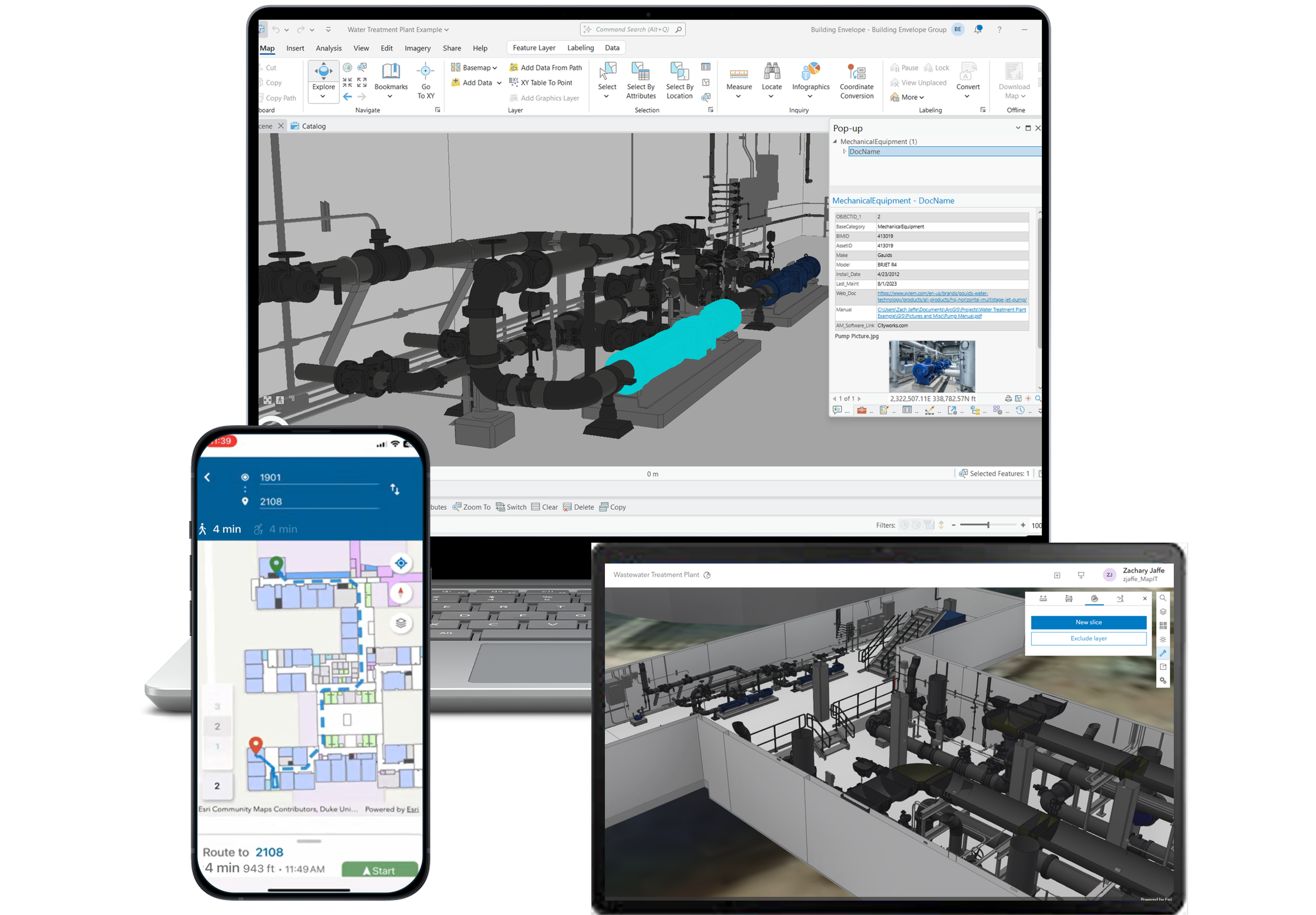
Strategy & Implementation
-
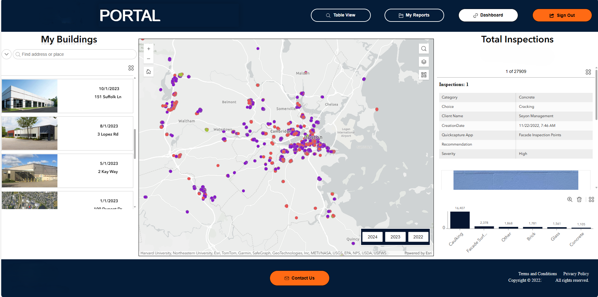
GIS Consulting
Define how GIS should be structured and used across your organization. Deliverables include system design, data strategy, and implementation planning.
-
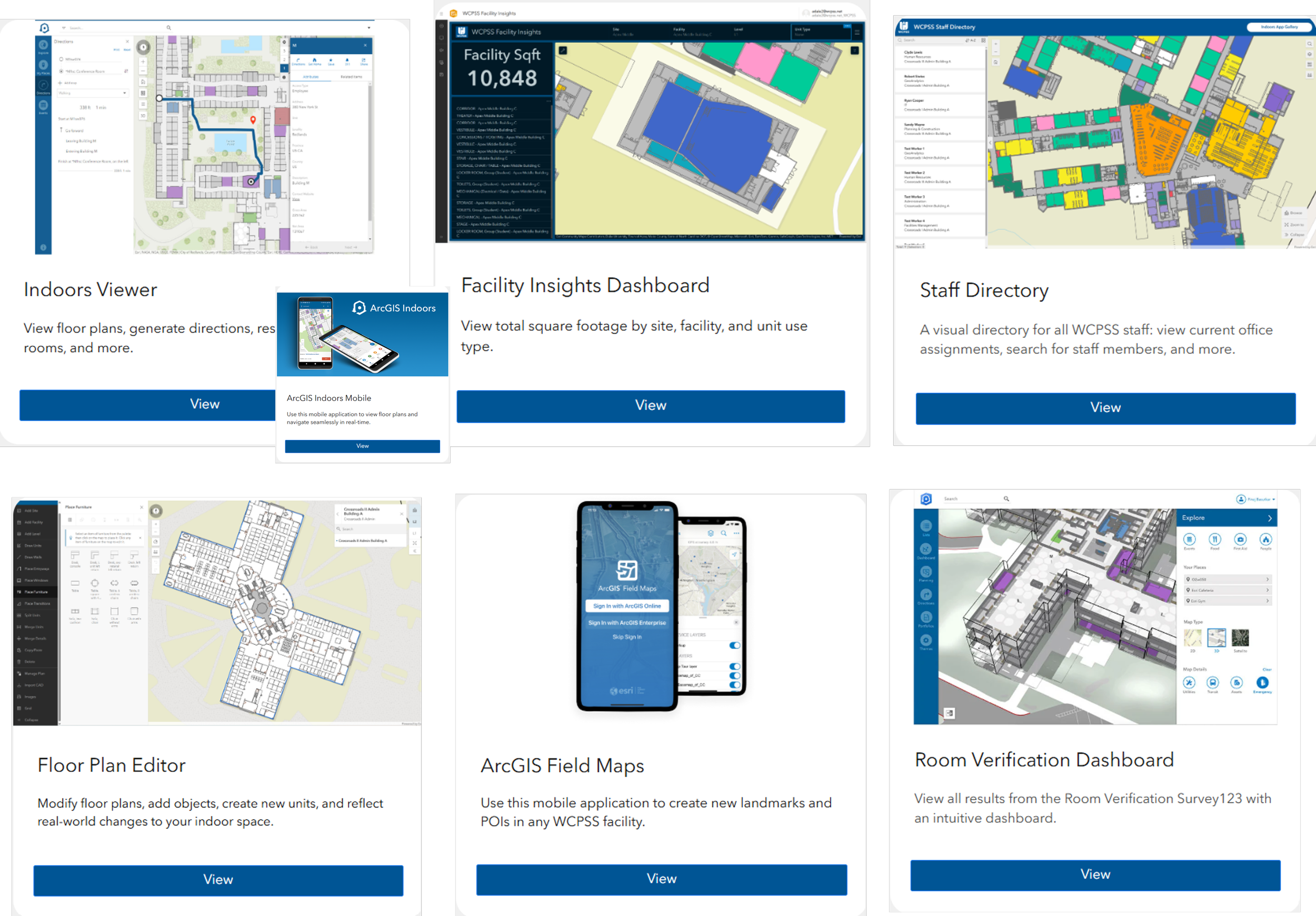
GIS Implementation & Configuration
Build and configure GIS environments using platforms like ArcGIS. Deliverables include structured systems, data models, and user-ready applications.
-
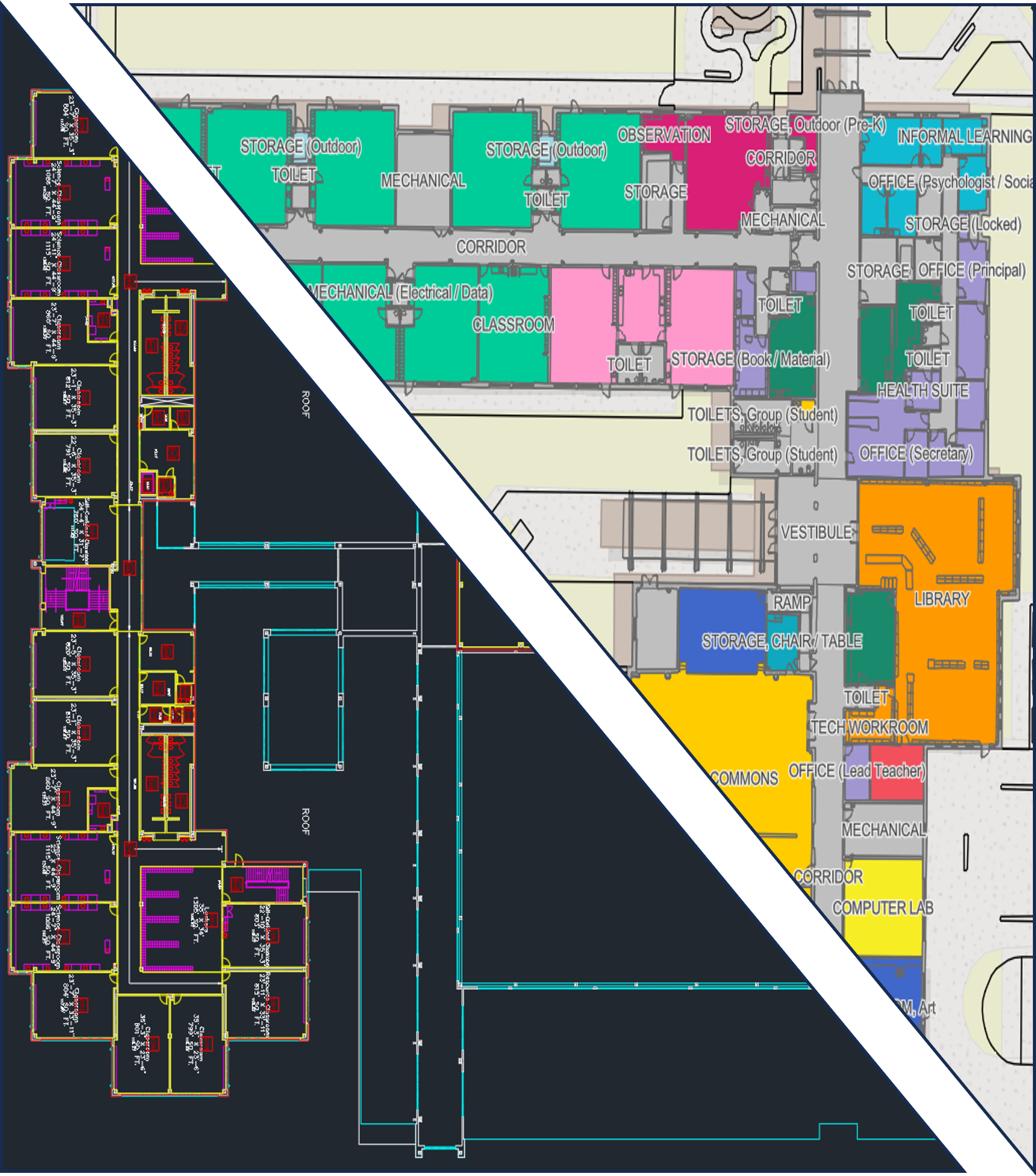
CAD to GIS Conversion
Transform CAD drawings into structured GIS data that can be mapped, analyzed, maintained, and shared across your organization.
-
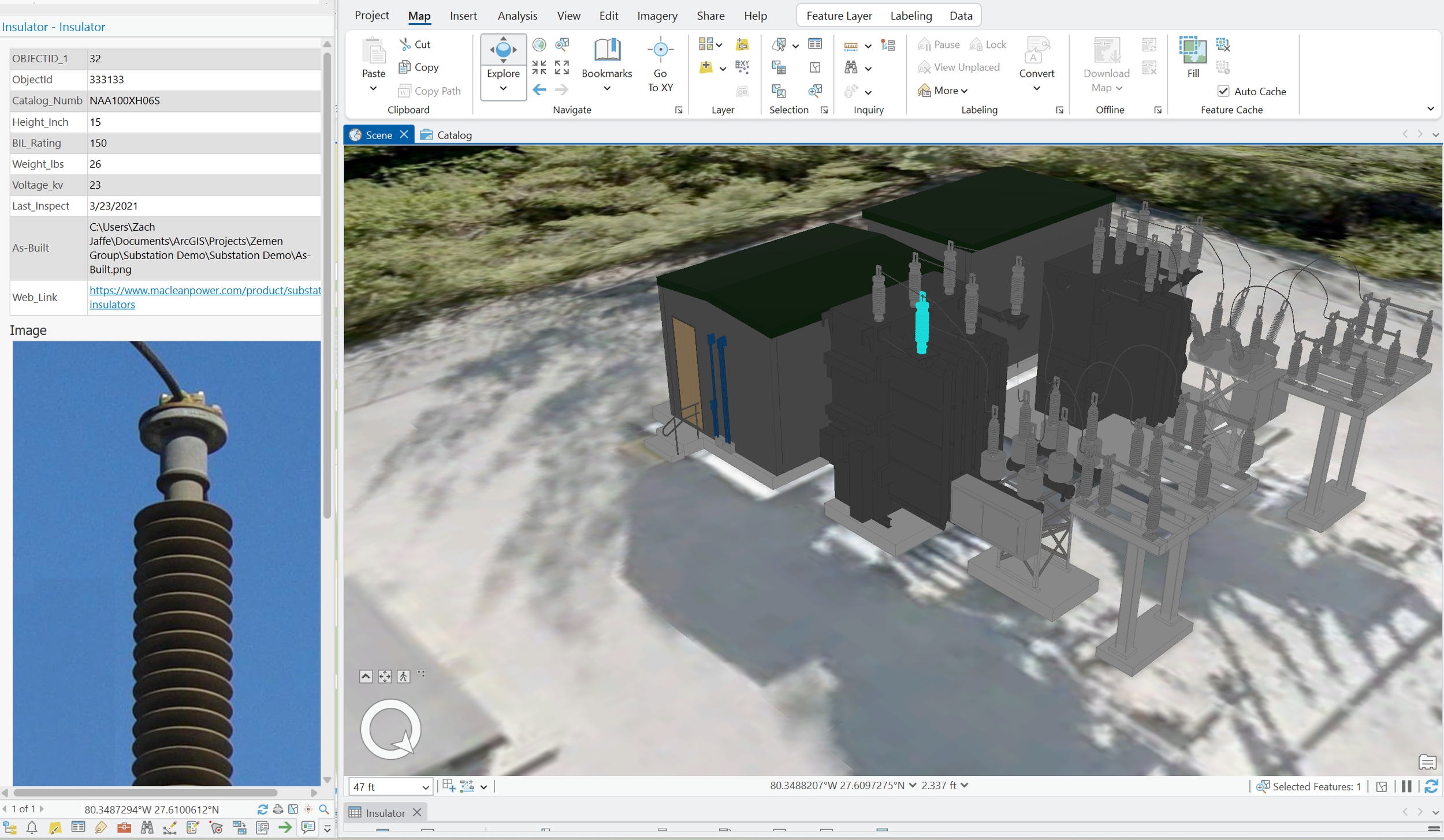
BIM to GIS Integration
Connect BIM models with GIS to bring design, facility, and operational information into a shared spatial environment.
Facility & Infrastructure Solutions
-
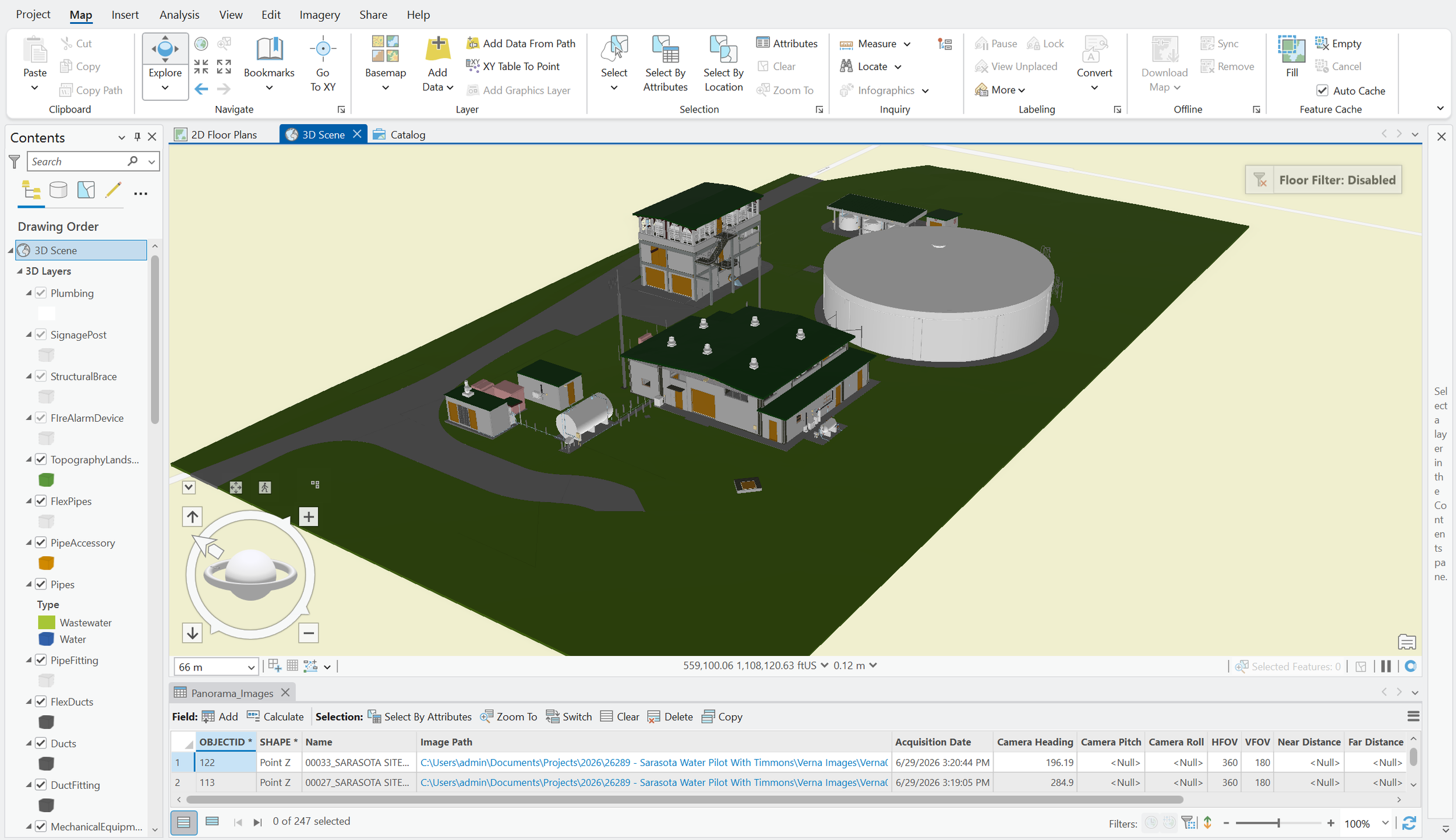
Digital Twin Development
Develop digital twins that combine GIS, 3D models, real-time data, and 3rd party business systems. Deliverables support visualization, analysis, and long-term asset management.
-
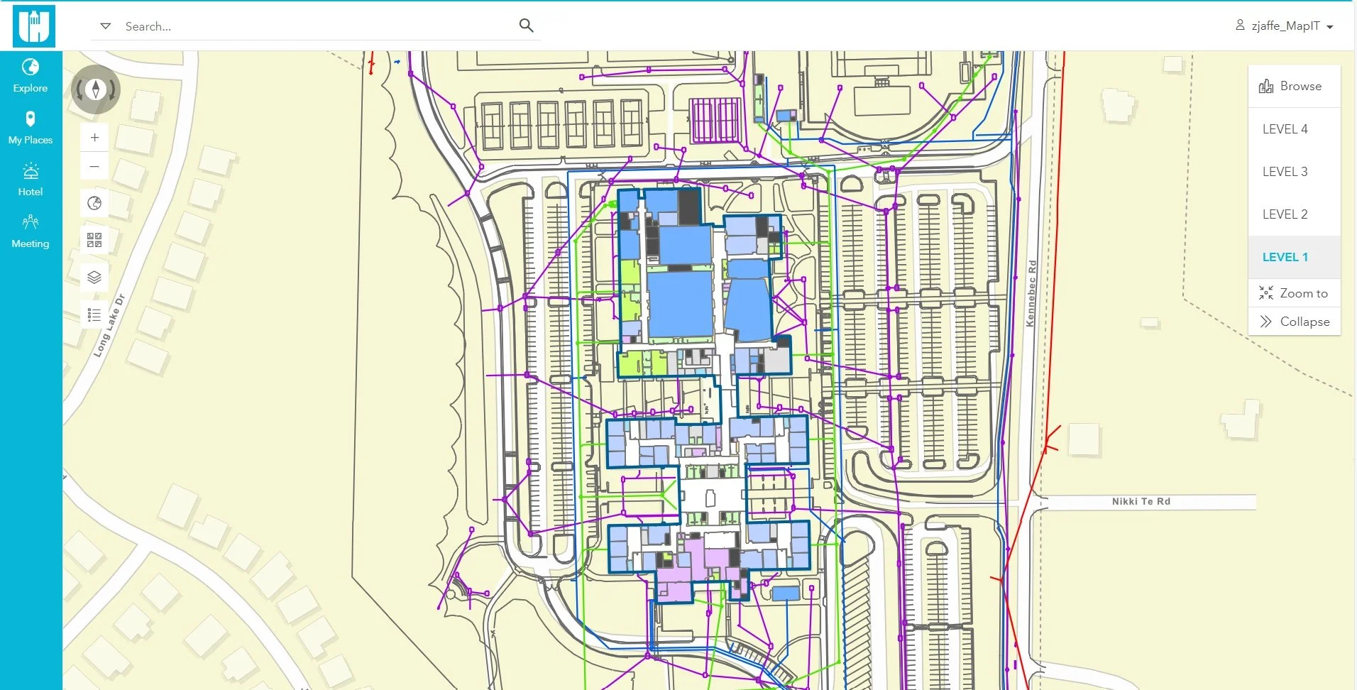
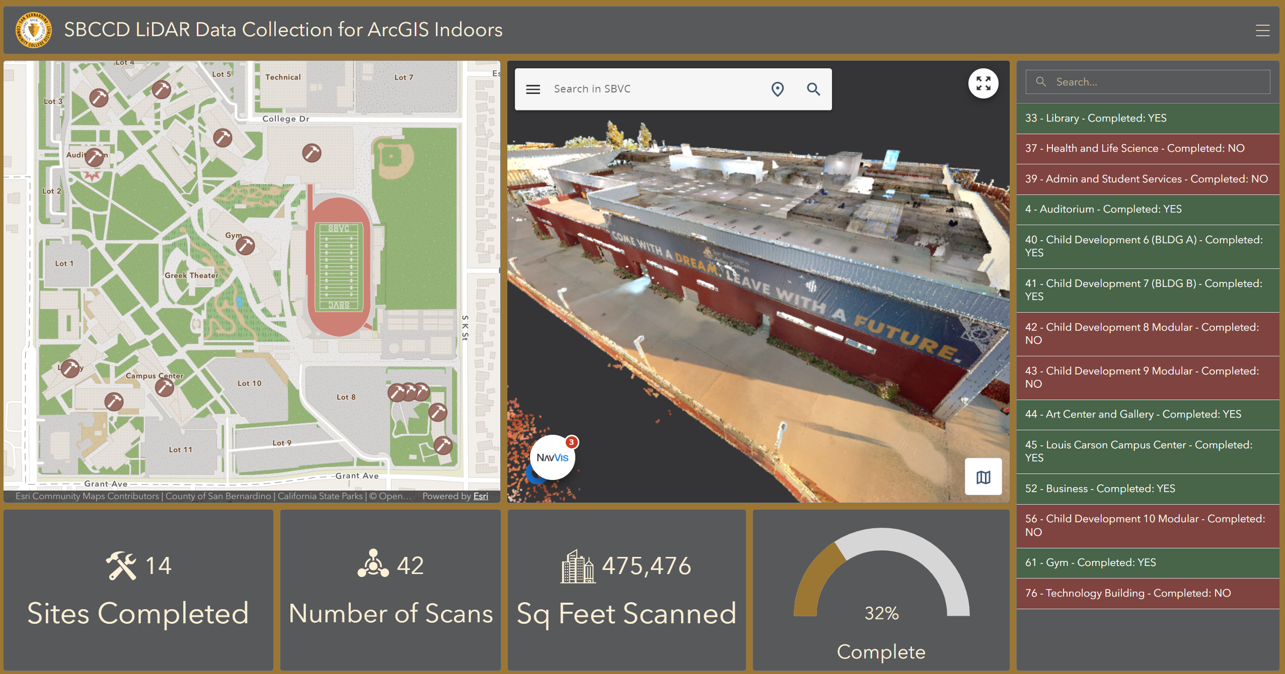
ArcGIS Indoors & Indoor GIS
Build indoor GIS systems that connect floor plans, assets, and spaces. Deliverables support facility management, safety and security, indoor routing, space planning, and more
-
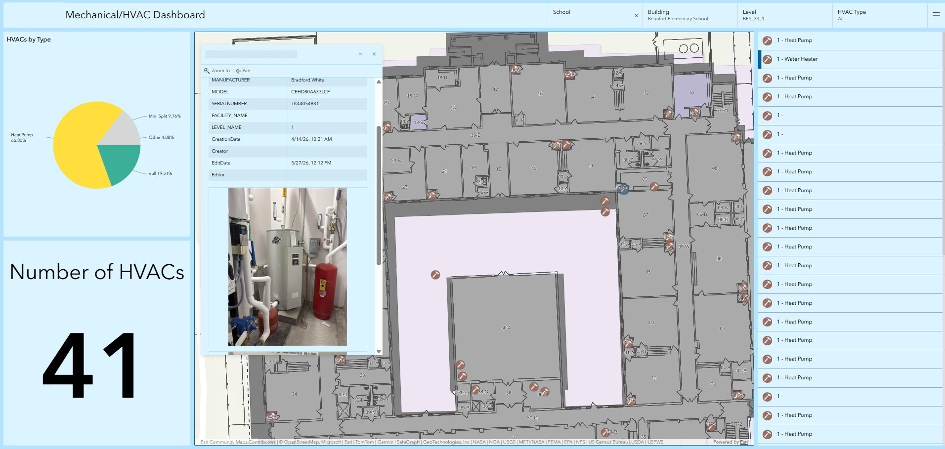
Asset & Facility Management Systems
Create GIS systems that track assets, infrastructure, and facilities. Deliverables support maintenance, inspections, and operational planning.
-
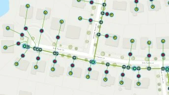
Utility Mapping
Map and manage infrastructure networks, including utilities and underground systems. Deliverables support visibility, coordination, and long-term record keeping.
Applications & Customizations
-

GIS Customization & Automation
Develop custom tools, workflows, and automations within GIS platforms. Deliverables improve efficiency, reduce manual work, and extend system capabilities.
-
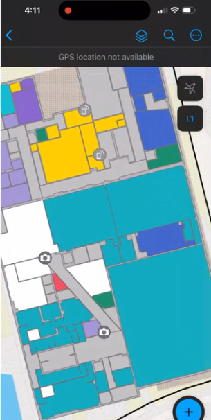
Field Mobility Solutions
Enable field data collection and access using mobile GIS applications such as ArcGIS Field Maps and Survey123. Deliverables support real-time updates and field-to-office workflows.
-
IoT & Data Integration
Integrate external data sources, including IoT sensors and operational systems, into GIS. Deliverables provide real-time visibility and monitoring capabilities.
-

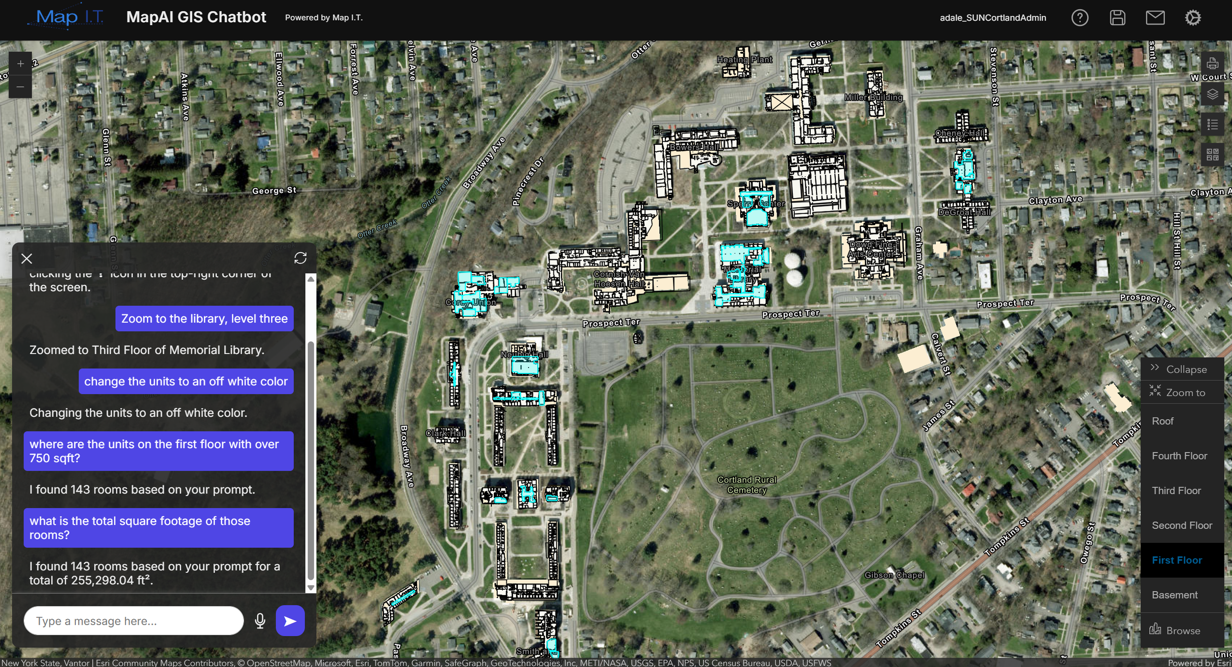
GeoAI
Leverage AI and machine learning with geospatial data to automate analysis, uncover patterns, and generate actionable insights. Transform complex GIS datasets into intelligent, accessible tools for decision-making and operational workflows.
Built on the leading GIS platform
Map I.T. builds GIS systems using Esri’s ArcGIS platform, the industry standard for location-based data and spatial analysis. ArcGIS provides the foundation for mapping, data management, visualization, and application development across organizations of all sizes.
From field data collection to enterprise systems and digital twins, ArcGIS connects data, teams, and workflows into one environment that supports real-world operations.
A trusted Esri partner for GIS and indoor mapping
Map I.T. is an Esri Silver Partner, an Indoor GIS Specialty Partner, and a Smart Campus Champion. These designations reflect proven experience delivering GIS and indoor mapping systems that work in real-world environments.
Beyond certifications, Map I.T. focuses on building systems that align with how organizations operate. From facility mapping and indoor GIS to enterprise data management, projects are designed to be accurate, usable, and maintainable over time.



Let’s Build a GIS That Works the Way Your Organization Works
GIS brings together spatial data, assets, and systems into one environment that teams can use to plan, manage, and operate more effectively.
Map I.T. builds GIS systems that connect your existing data and workflows, making information accurate, accessible, and usable across your organization.