
Document Your Site and Make It Accessible with Accurate, Visual, Location-Based Data
From Existing Conditions to Connected Digital Workflows
Capture existing conditions, create usable records, and share your site through mapping, models, GIS, and interactive experiences
Most organizations already have some level of documentation, whether it’s drawings, photos, or past project files. The challenge is making that information consistent, accurate, and usable across planning, design, construction, and long-term operations.
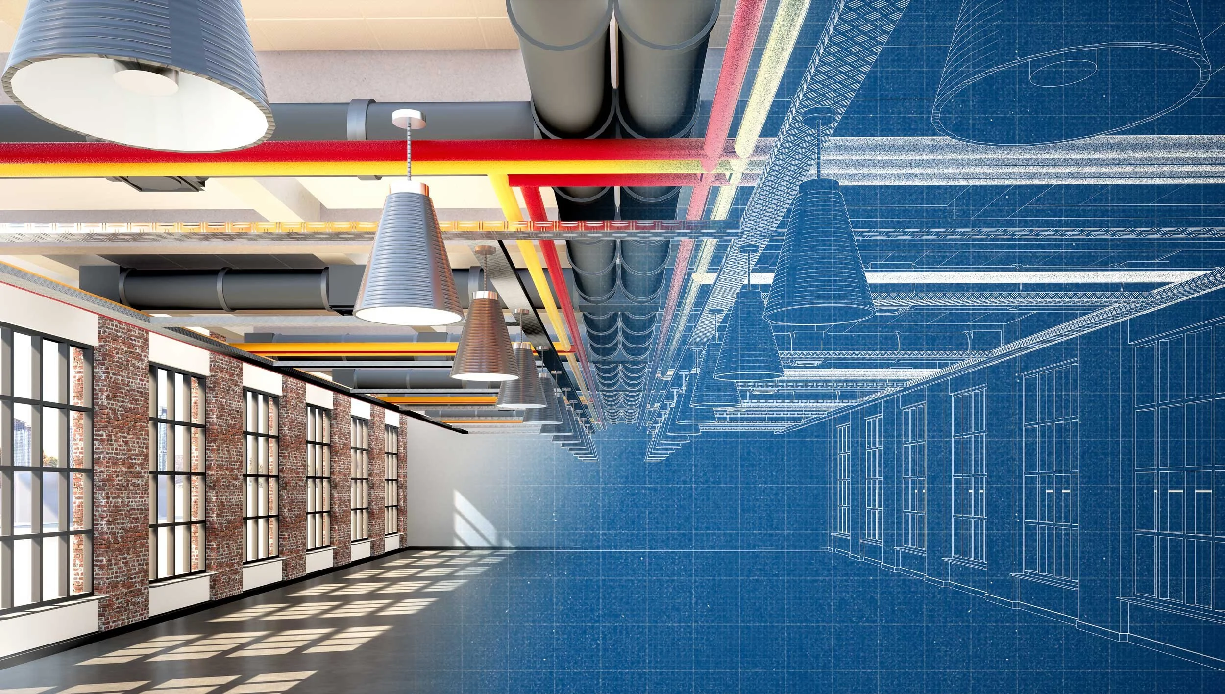
With 3D scanning, mapping, and GIS, site and building conditions can be captured and organized into a structured system. This supports a range of workflows, including CAD drafting, BIM modeling, GIS, construction progress documentation, as-built records, and facility digitization.
Accurate, location-based data makes it easier to create and update floor plans, coordinate between design and construction teams, and ensure that what is built is properly documented for future use.
Instead of relying on static files or disconnected records, teams can work from a shared, visual understanding of existing conditions across CAD, BIM, and GIS environments.
This same information can also be used to support public-facing needs, including project communication, public reporting from shared data repositories, wayfinding guidance, and virtual experiences.


Documentation Services
-
![]()
Existing Conditions & Site Documentation
Capture current site, building, and facility conditions using 3D scanning, imaging, and field data collection. Deliverables include accurate records for planning, design, and long-term reference.
-
![]()
CAD Drafting & Floor Plans
Description goes hereCreate accurate 2D drawings and floor plans from captured data. Deliverables support design, permitting, and documentation workflows.
-
![]()
BIM Modeling
Develop 3D models for use in BIM workflows. Deliverables support design coordination, construction planning, and project development.
-
![]()
Construction Progress Documentation
Capture and document site conditions throughout construction. Deliverables provide visual and spatial records to track progress and support coordination across teams.
-
![]()
As-Built Documentation
Document completed construction to reflect final conditions. Deliverables provide accurate records for operations, maintenance, and future planning.
-
![]()
GIS & Facility Digitization
Convert buildings, assets, and site information into structured GIS systems. Deliverables support facility management, operations, and long-term data use.
-
![]()
Digital Models & Visual Records
Create 3D models and visual documentation that provide a clear understanding of site conditions. Deliverables support both technical workflows and stakeholder communication.
-
![]()
Public Engagement & Visualization
Develop interactive maps, models, and visual tools to communicate site information. Deliverables support public access, education, marketing, engagement, advocacy, and project transparency.
-
![]()
Data Integration & Delivery
Prepare and deliver data in formats aligned with CAD, BIM, and GIS workflows. Deliverables are structured for immediate use across project teams and systems.

Documentation you can use across every stage of your project
Accurate site documentation is critical for planning, coordination, and long-term record keeping. When that information is incomplete or difficult to access, it becomes harder to understand existing conditions, track changes, and share information across teams.
Map I.T. helps organizations document sites, buildings, and facilities in a way that is clear, visual, and usable. This includes capturing existing conditions, supporting construction and as-built documentation, and creating records that can be used across CAD, BIM, and GIS workflows.
Our practical approach is built around how your team works
Focused on outcomes, not just deliverables

Built on Accurate, Real-World Data
Everything starts with accurate information. Map I.T. provides in-house surveying and data collection so your systems reflect what actually exists, not outdated drawings or assumptions

Works Across Teams Instead of Within Singular Departments
Facilities, safety, operations, leadership, and technical teams all rely on the same information. Map I.T. builds systems that support collaboration rather than create silos.

Designed for Real Use and Not Just Delivery
Maps and models are only useful if your team can use them. Systems are structured to support day-to-day operations, not just a one-time deliverable

Built to Grow With Your Organization
Data is captured and structured so it can be reused across projects and over time. As your needs change, you are not starting over
Trusted by organizations managing complex environments

740M+
Miles Sq. Ft. Mapped
100M+
People Safeguarded
30
Years of Experience