Capture Accurate, Complete Data for Your Environment, Inside and Out
Data Collection and reality capture for Complete Site DOCUMENTATION ACCURATE DATA IS THE FOUNDATION
Map I.T. uses LiDAR scanning, 360° imagery, GNSS, and conventional surveying methods to capture accurate existing conditions for mapping, modeling, and analysis
Different projects require different types of data. Our approach combines the appropriate technologies for your environment, accuracy requirements, and intended use, creating reliable information that can support CAD, BIM, GIS, indoor mapping, and digital twin initiatives.
The data collected in the field is the foundation for your CAD, BIM, GIS, and digital twin initiatives. Accuracy and reliability is critical!
Data Collection Capabilities
-
![A person wearing a bright green shirt is standing outdoors, facing away, with a drone mounted on a drone launch pad placed on their head. The drone has a camera and is positioned above the person's head. The background features a blue sky, mountains, and a hillside.]()
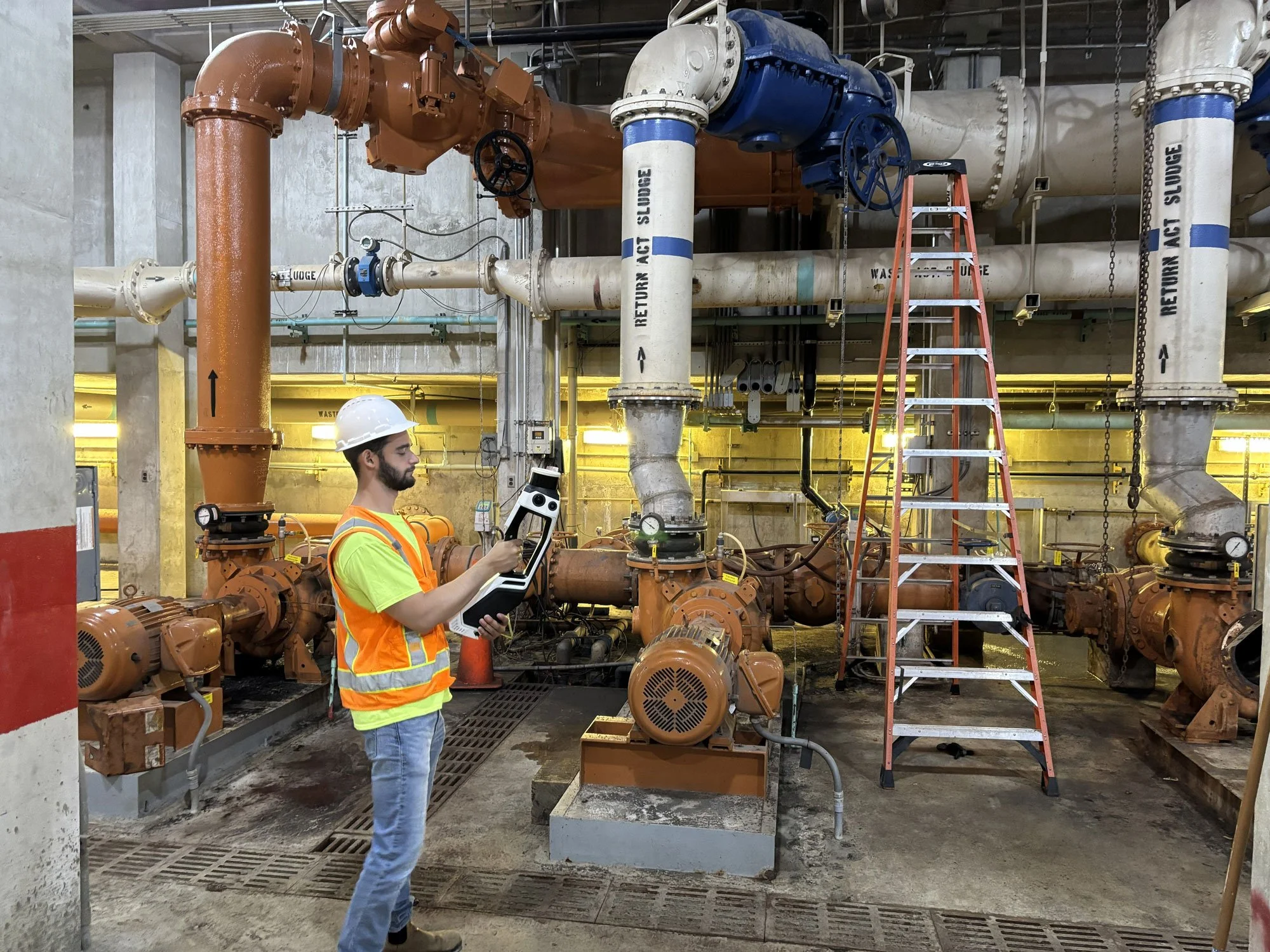
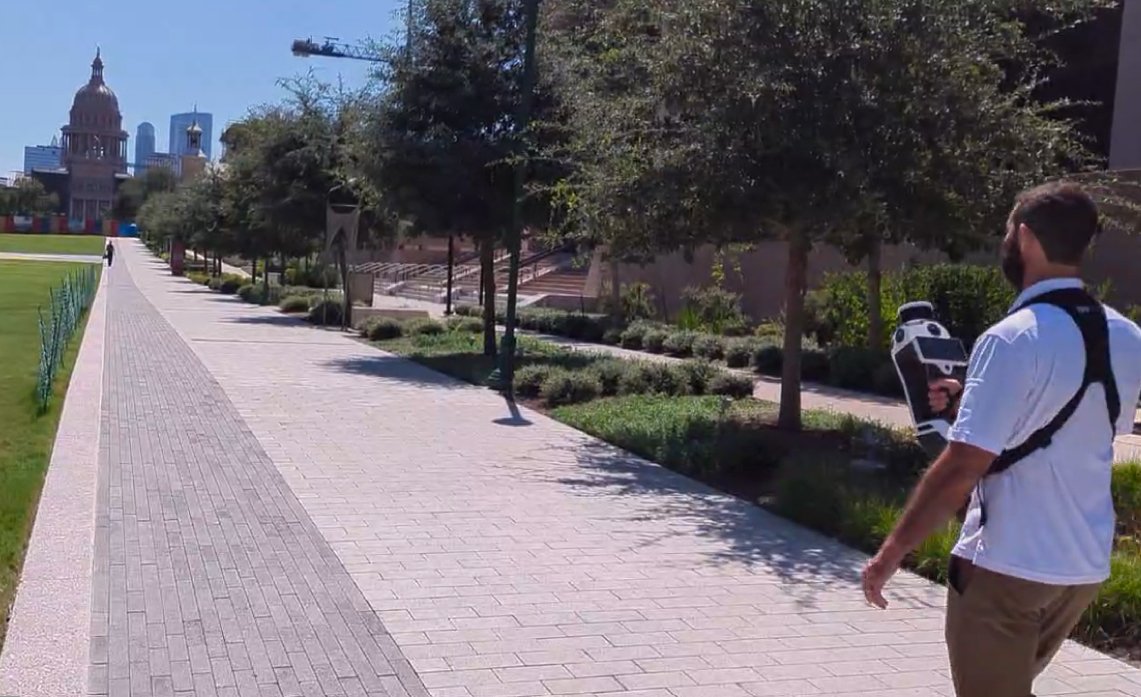
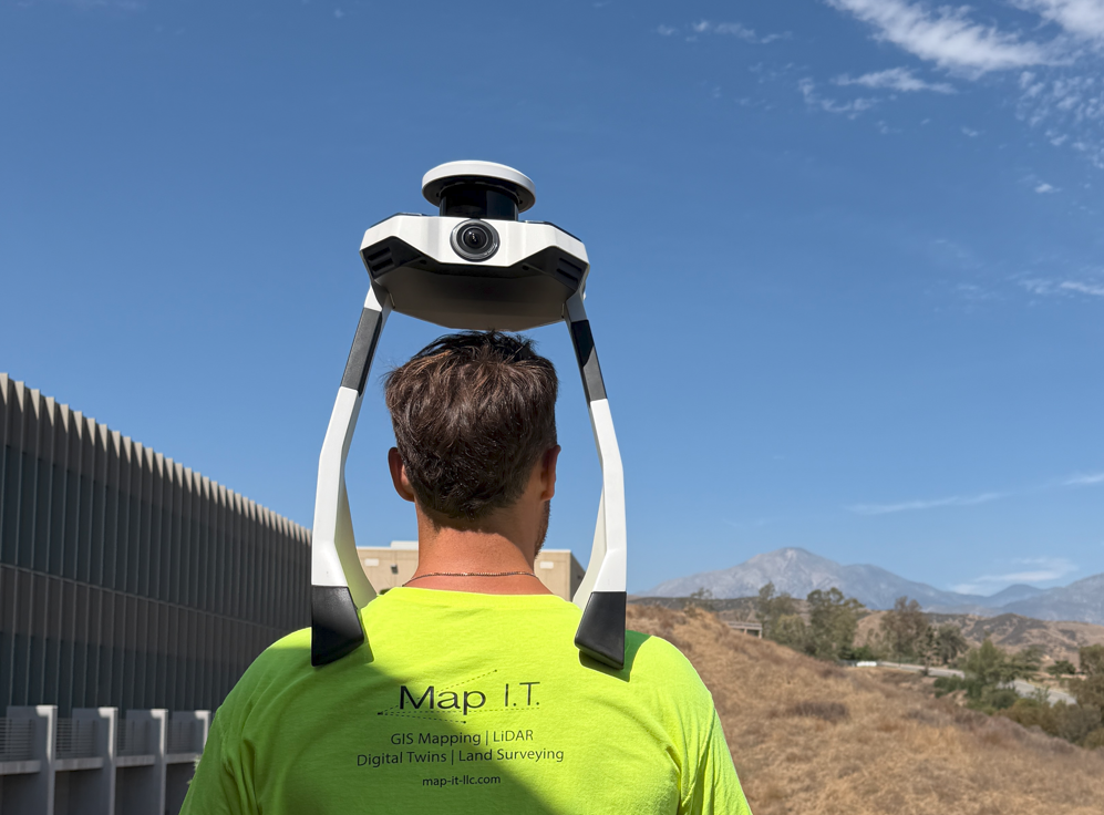
Mobile & SLAM Scanning
Rapidly capture large indoor and complex environments using mobile scanning systems. Deliverables support mapping, documentation, and indoor mapping initiatives while allowing teams to collect hundreds of thousands of square feet of space per day.
-
![A white and black laser scanner mounted on a tripod, set up outdoors on a staircase with white railings. In the background, a multi-story residential building with balconies and a sliding glass door, and a bright blue sky. Trees and a grassy lawn are visible.]()
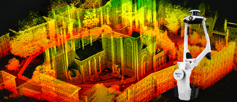
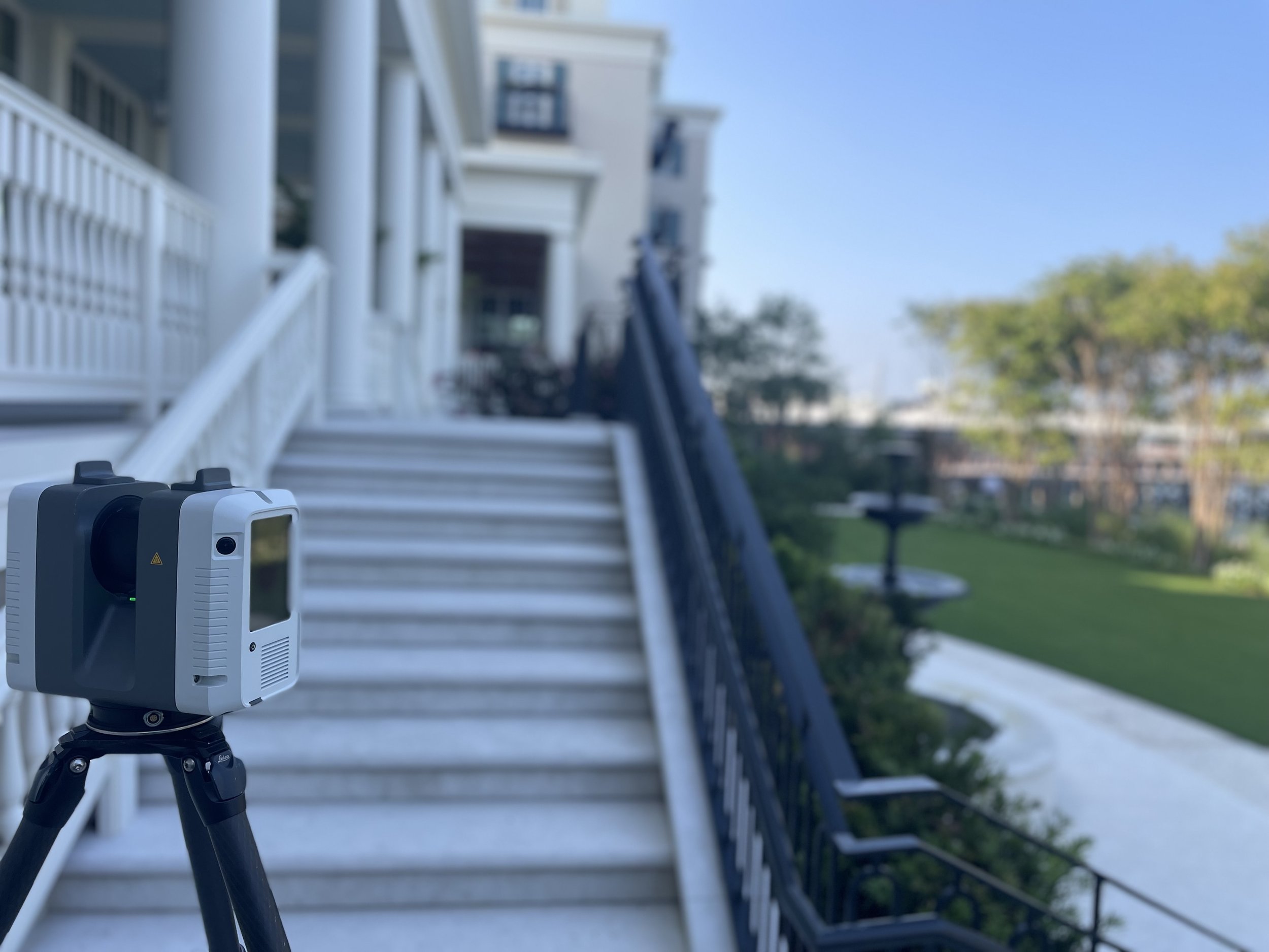
Terrestrial LiDAR Scanning
Capture high-density 3D point cloud data of buildings, sites, and infrastructure to support design, engineering, construction, and existing-condition documentation. Deliverables include detailed point clouds for modeling, measurement, and analysis.
-
![This image shows a classroom with a blue round table, a bulletin board, a reading corner with a chair, and various educational supplies and books around the room.]()
360° Imagery
Capture panoramic imagery that provides visual context and supports virtual walkthroughs of your facilities and sites. 360° imagery can support documentation, inspection, remote review, and virtual navigation while improving situational awareness.
-
![A surveyor's tripod and leveling instrument set up on a dirt roadside with a red curb and a 'No Parking Fire Lane' sign, overlooking a landscape with trees, hills, and mountains under a blue sky with clouds.]()
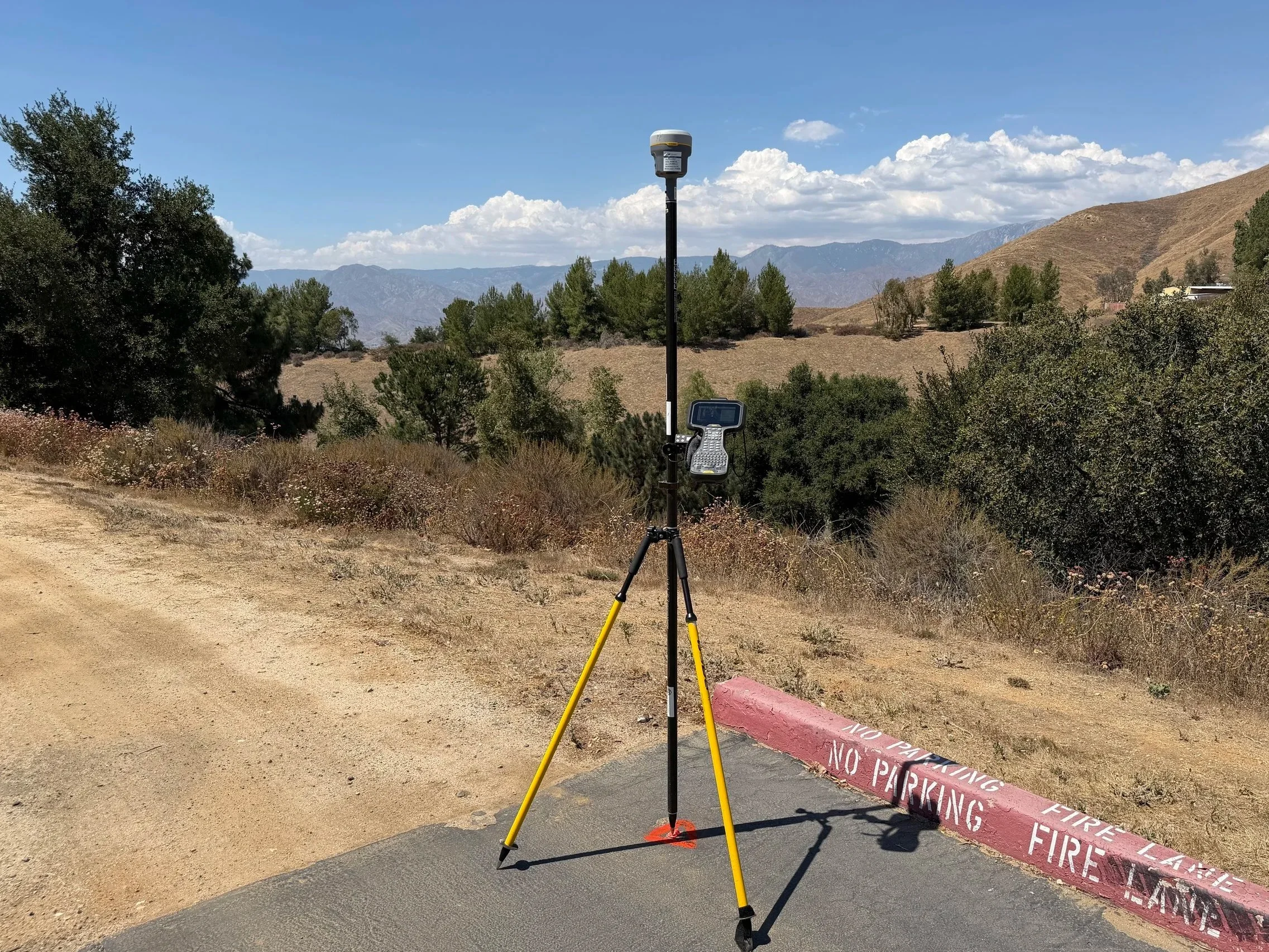
GNSS / GPS Mapping
Collect high-accuracy geospatial data using GNSS equipment. Deliverables include mapped points, control data, construction staking and layout, and infrastructure locations tied to real-world coordinates.
-
![A drone flying over a green field of crops or plants.]()
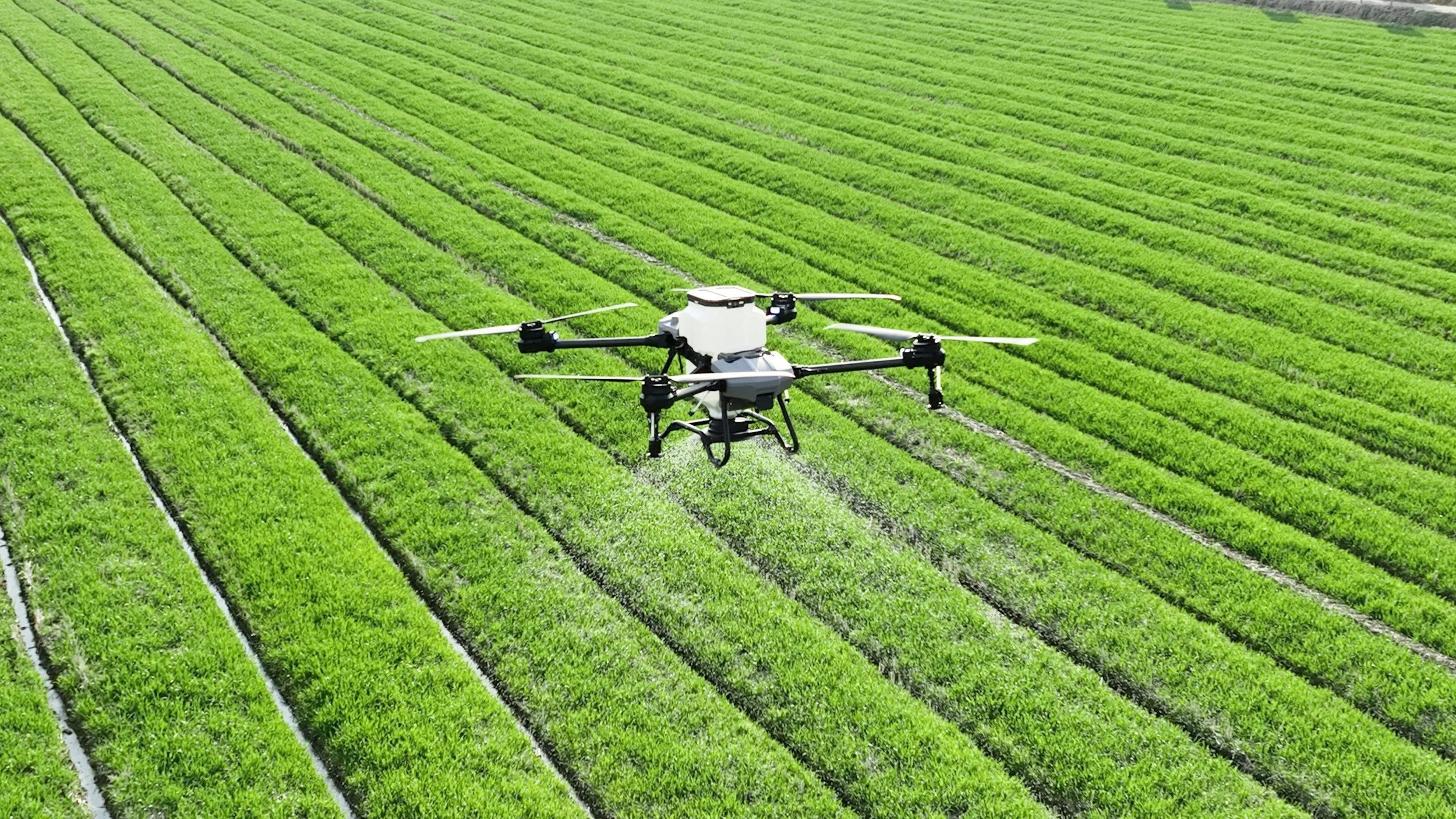
Aerial and UAV Data Collection
Capture large sites, corridors, and infrastructure using UAV-based systems. Deliverables can include gaussian splatting, aerial imagery, surface models, 3D point clouds, and site context for planning, documentation, and analysis.

Here to Support Your High Accuracy Data Needs
Accurate field data is only the beginning. Map I.T. delivers reliable information in formats that can support CAD, BIM, GIS, indoor mapping, digital twins, and other operational workflows.