
Industries
Supporting organizations that manage complex environments, assets, and infrastructure
Map I.T. works with public and private organizations that rely on accurate, usable information to plan, operate, and make decisions. While each industry has unique requirements, the core challenge is often the same: making complex environments easier to understand and manage.
Industries We Work with
-

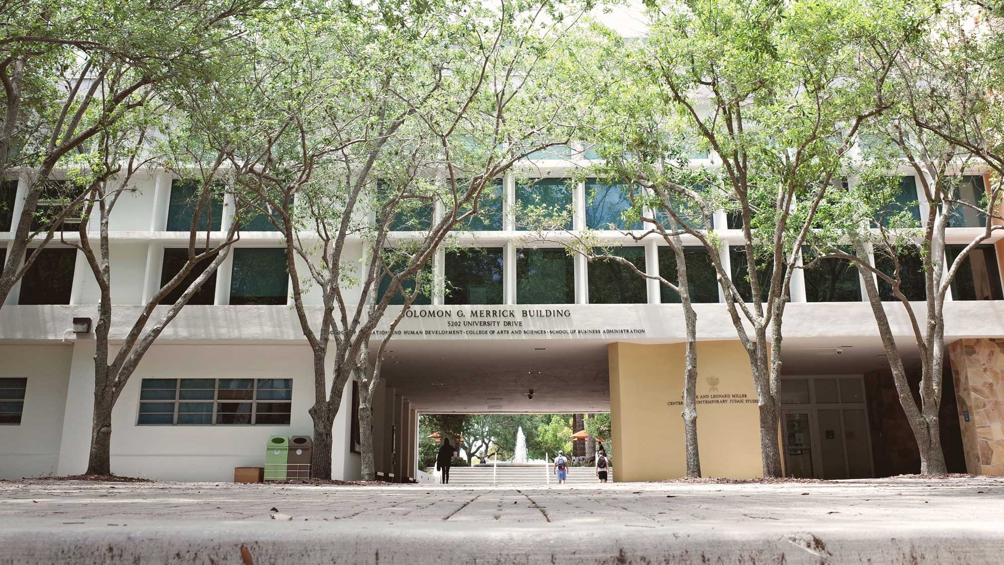
Education & Campus Environments
Support planning, safety, and facility management across K–12 districts and higher education campuses with accurate, accessible information. From individual schools to large, multi-building campuses to entire school districts, clear data helps teams operate more effectively and plan with confidence.
Safety planning and emergency response readiness
Asset and facility visibility across campuses
Wayfinding for students, staff, visitors, and first responders
Route planning, space planning, and long-term growth
-

Water & Wastewater
Support safe, reliable operations across treatment plants and utility infrastructure with accurate, up-to-date information. Map I.T. works within your existing GIS and operational systems to improve how assets, networks, and data are maintained, accessed, and used.
Utility and infrastructure mapping
3D data capture and modeling
Asset visualization across plants and networks
Inspection, maintenance, and compliance support
System planning and long-term management
-

Facilities & Asset Management
Improve how your organization manages facilities and assets with accurate, accessible data. Connecting assets, spaces, and infrastructure into one system helps teams plan maintenance, track inspections, prioritize work, and budget for future repairs and replacements.
Asset and infrastructure visibility
Maintenance and lifecycle planning
Space and facility utilization
Usable across teams and workflows
-
Safety and Security Mapping
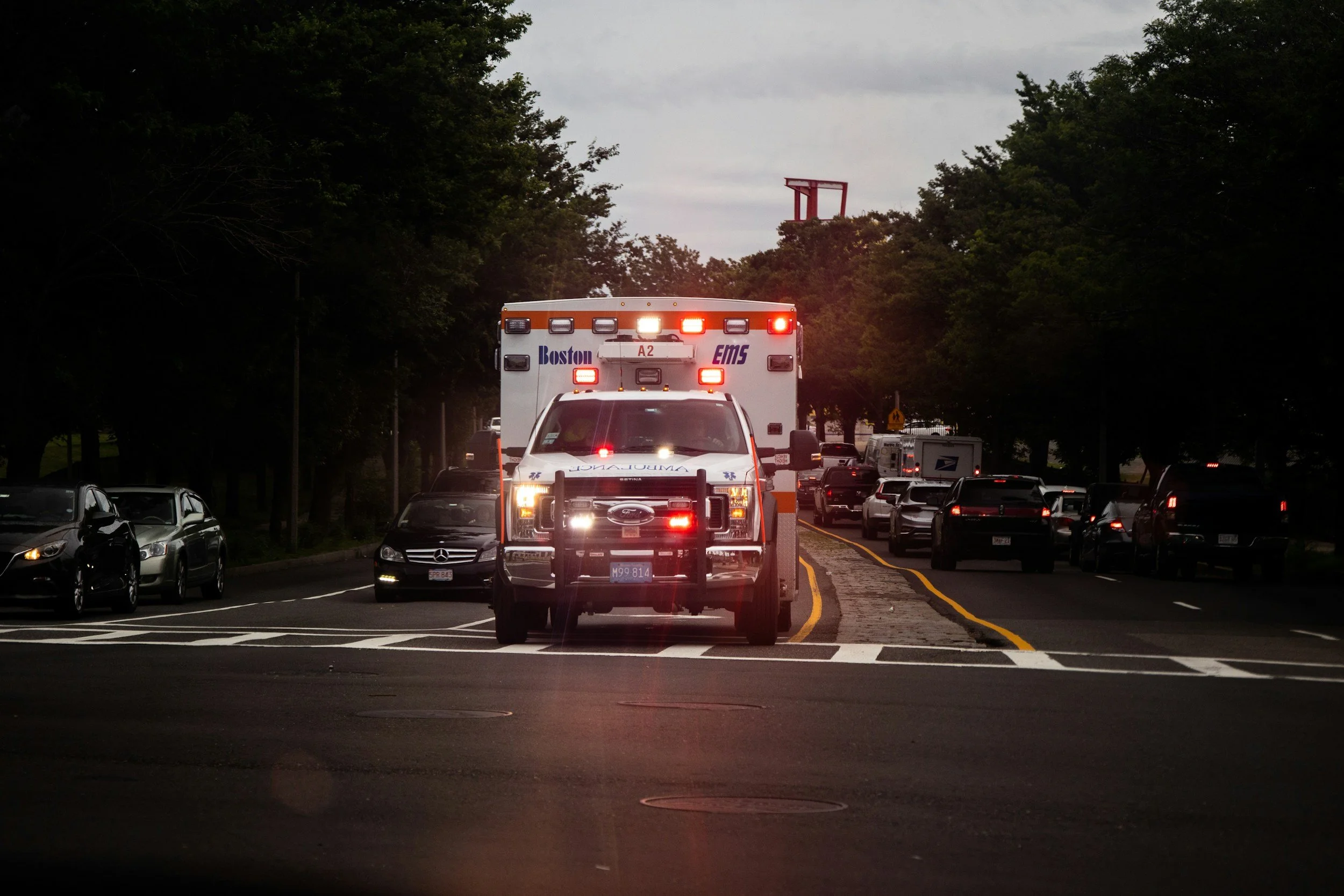
Provide clear, consistent information that supports preparedness, coordination, and response across your organization. Accurate mapping of buildings, assets, and access points helps decrease response times and improve communication when emergencies happen.
Accurate indoor maps, floorplans, and access points across buildings
Identify and visualize critical safety assets (AEDs, fire extinguishers, cameras)
Support evacuation planning and route optimization
Consistent information across teams and first responders
-
Cemetery Management and Mapping
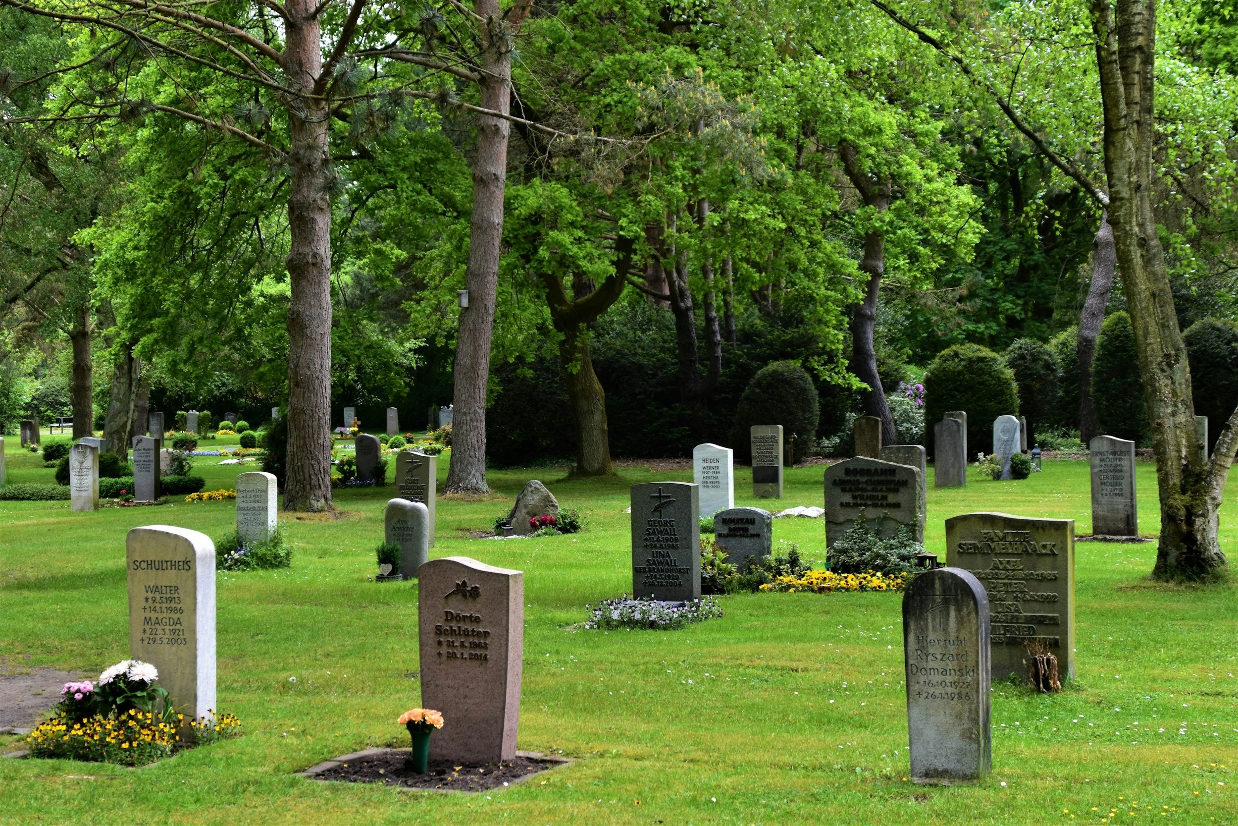
Maintain accurate, accessible records for gravesites, assets, and cemetery operations. Connecting burial information, ownership records, and physical locations into one system helps reduce errors, simplify management, and improve public access.
Accurate grave, plot, and ownership records
Centralized information for maintenance and planning
Provide public access to burial and location information
Long-term data management and preservation
-

Museums and Historic Preservation
Preserve, document, and share historic buildings, sites, and collections through accurate digital records and accessible spatial information. Connecting physical spaces, artifacts, and archival data into a unified system supports long-term stewardship, restoration efforts, research, and public engagement.
Accurate documentation of historic sites
Visualization for preservation and restoration
Digital twins for future reconstruction
Virtual experiences for public engagement
-
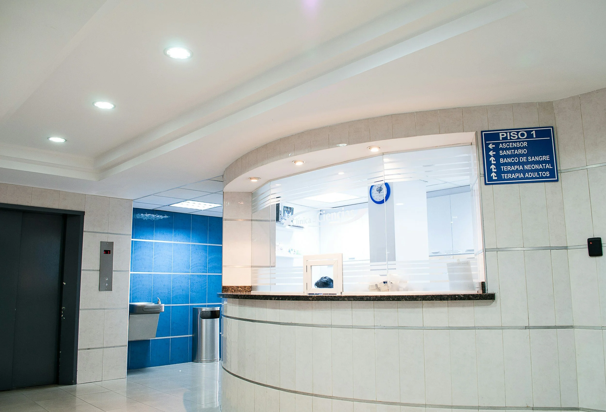
Hospitals and Health Systems
Improve navigation, coordination, and operations across complex healthcare environments with accurate, accessible information. Connecting buildings, assets, and workflows in one system helps staff find what they need faster, support emergency response, and reduce delays in patient care.
Indoor mapping and wayfinding for patients, staff, and visitors
Locate and manage critical equipment and assets
Support safety, security, and emergency response coordination
Digital floor plans, space utilization, and facility planning