Cemetery Management & Mapping
Manage cemetery records and locations with accurate, accessible mapping
Connect burial records, plot locations, and site information into one system to support operations, public access, and long-term management
Cemeteries depend on accurate records to manage plots, ownership, and day-to-day operations. When records are incomplete, outdated, or disconnected from physical locations, staff can spend unnecessary time searching for answers or verifying information.
Map I.T. connects burial records with accurate mapped locations, creating a reliable system that is easier to manage, maintain, and share.
What cemetery mapping makes possible
Most cemeteries already have some form of records, whether digital or paper-based. The challenge is making sure that information is accurate, organized, and tied to the correct location.
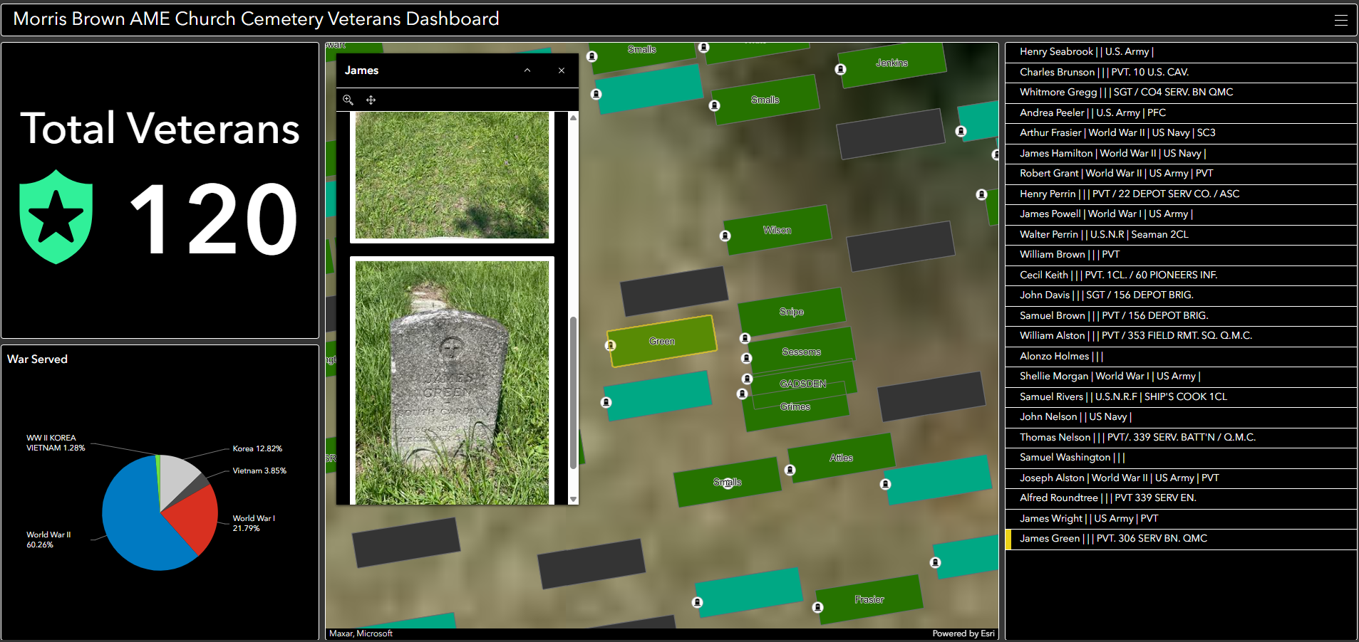
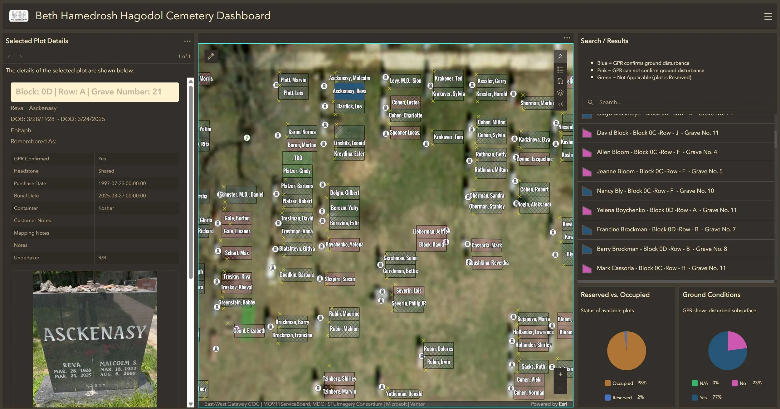
With mapping and GIS, burial records, plot locations, and site information can be connected into one system. This allows staff to quickly locate plots, verify ownership records, and maintain accurate information over time.
It also makes it easier to provide access to the public, helping families and visitors find locations without relying on manual searches or outdated maps.
Supporting operations, record keeping, and public access
-
![Aerial view of a large parking lot filled with many vehicles, with some trees and a small informational sign or billboard visible.]()
Plot and Burial Record Management
Maintain accurate records for graves, plots, and ownership. Mapping ensures that records are tied to the correct physical location, reducing errors and improving confidence in your data.
-
![Screenshots of a cemetery viewer app on a computer and smartphones displaying a map of the cemetery with various sections labeled, including 'Rick Doe' with details and a photo of a gravestone.]()
Location and Navigation
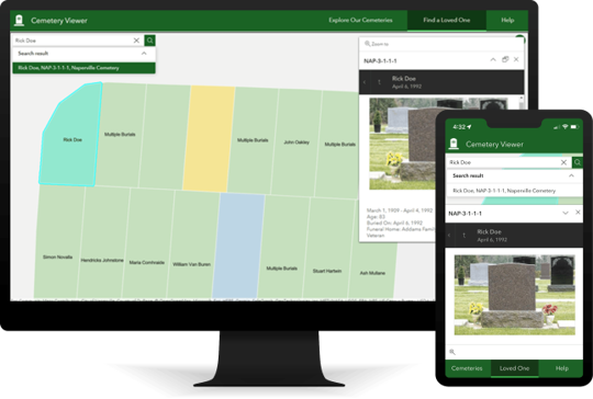
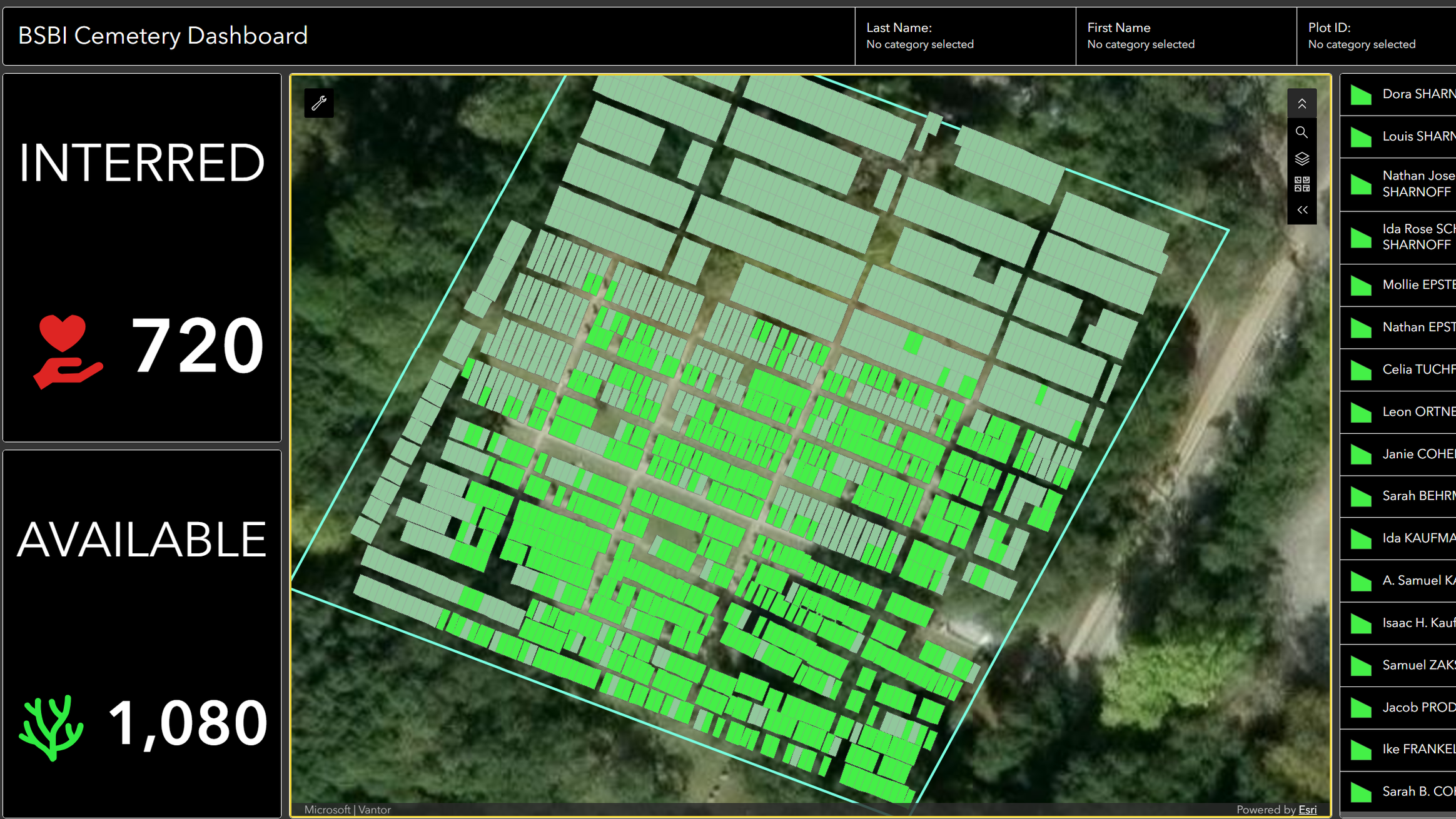
Quickly locate graves and plots across the cemetery. Staff and visitors can find locations without relying on paper maps or manual searching.
-
![Cemetery map on a digital dashboard with green and gray plots, showing interred status, and statistics on available plots, hearts, and trees for cemetery management.]()
Public Access and Information Sharing
Provide accessible tools for the public to search and locate burial information. Online maps and records make it easier for families and visitors to find what they need.
-
![An aerial view of a map showing the number of graves, available space, and estimated plots in a cemetery. The map includes sections with marked graves, unmarked graves, and forested areas, along with a list of plot owners.]()
Maintenance and Site Management
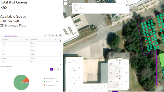
Track maintenance activities, site conditions, infrastructure, and operational needs using an accurate map of the cemetery. Better spatial visibility helps staff coordinate groundskeeping, improvements, inspections, and long-term site management.

A partner to your existing records and systems
Map I.T. works with your existing records, maps, and site information to build a system that fits your operations. This can include improving current data as well as capturing new information where needed.
What We Do
Identify gaps or inconsistencies between records and locations
Capture and verify plot and site data
Connect burial records to accurate mapped locations
Organize information into a structured GIS central data repository
Make data accessible through web-based maps and tools
Provide training and documentation to support ongoing use
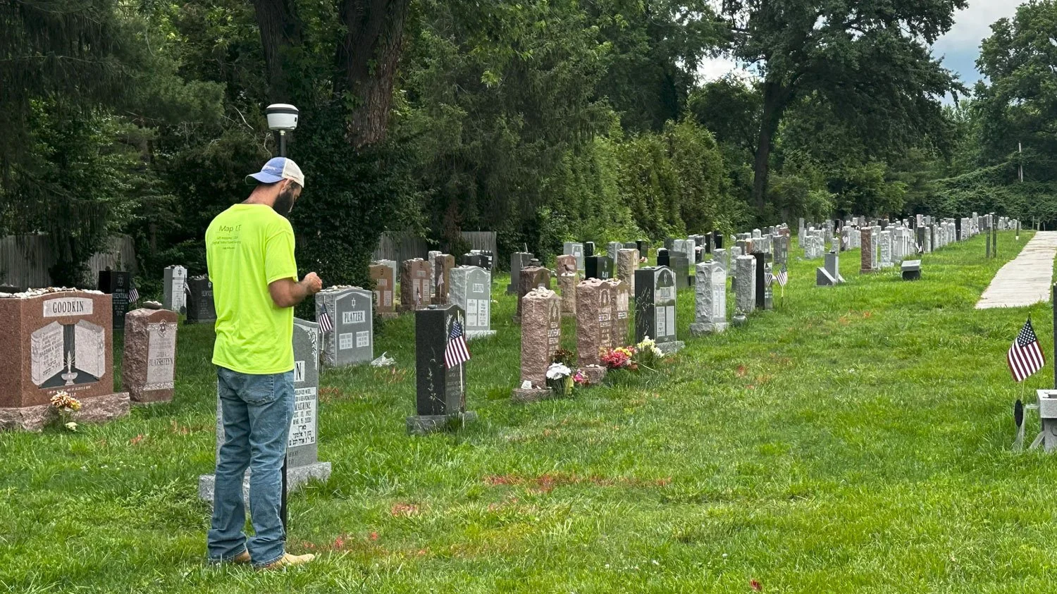
Experience supporting cemetery mapping and record management
Map I.T. supports organizations with mapping systems that improve cemetery record accuracy, accessibility, and long-term management.