
Spatial Intelligence.
Smarter Decisions.
Understand your infrastructure assets, their locations, and how they support day-to-day operations through GIS mapping and geospatial solutions.
Map IT captures, organizes, and connects accurate spatial and non-spatial data so organizations can better understand, manage, and operate their facilities and infrastructure.

Improve Safety
Plan for emergencies, improve situational awareness, and ensure teams have the information they need when it matters most through school and facility safety mapping.
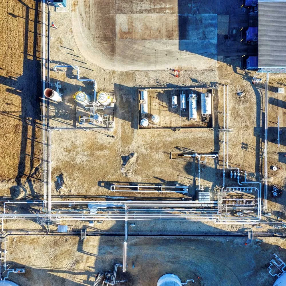
Manage Facilities and Assets
Improve asset and facility management by providing greater visibility into asset lifecycles, maintenance needs, and facility operations, helping organizations make informed decisions and keep operations running smoothly.
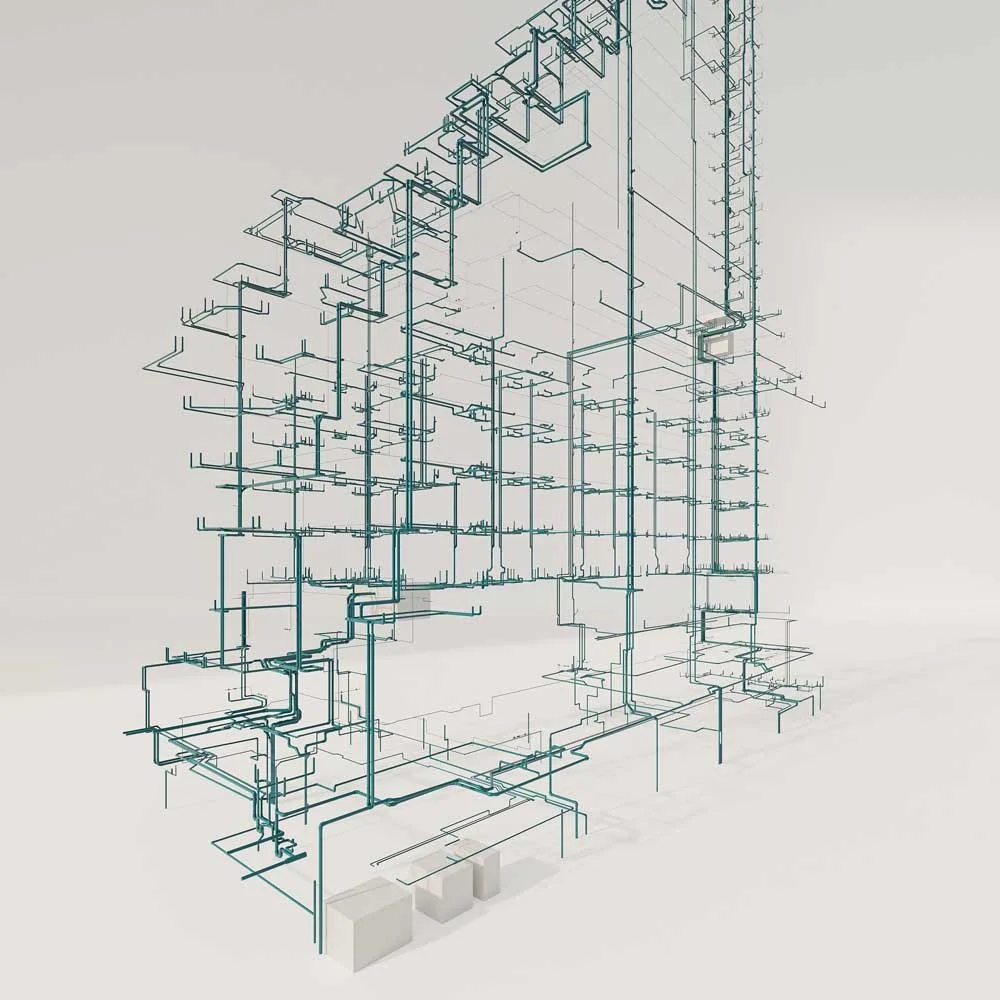
Understand Facilities
Reduce time spent searching for information and improve collaboration across teams by making critical information accessible enterprise-wide through GIS and digital twins.
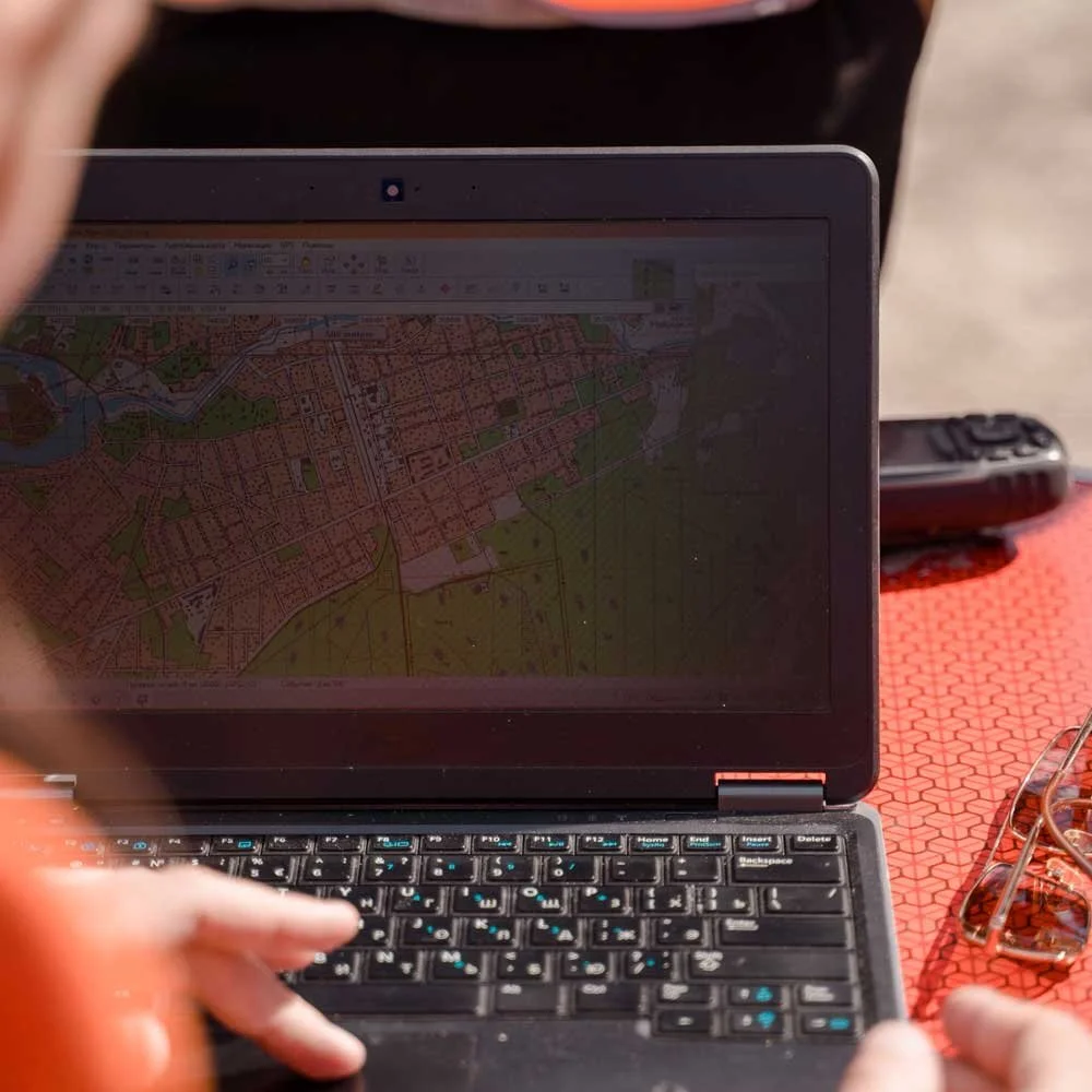
Make Better and
More Informed Decisions
Collect accurate data from the field and transform it into reliable GIS and digital twin information that teams can use to make informed decisions, improve operations, and respond with confidence.

Who we work with
From public agencies to private organizations, we support teams across industry types that are responsible for managing complex environments
Education & Campus Environments
Facilities & Asset Management
Safety and Security Mapping
Water & Wastewater
Site Documentation & Public Engagement
Museums & Historic Preservation
Hospitals & Health Systems
Cemetery Management & Mapping
Services that support your entire workflow
From data collection to full GIS deployments, we can provide a wide variety of services built to fit your exact needs
Explore the services that support how your team plans, operates, and manages information.
Indoor Mapping
Create clear, accurate indoor maps that support safety and security, facility/asset management, space planning, navigation, operations, and more.
Land Surveying
Traditional land surveying services to capture existing site conditions or to plan your next project.

Geographic Information Systems (GIS)
Organize and manage your data in a system your team can access & use.
Data Acquisition
Capture accurate site data using LiDAR scanning, 360° Imaging , and other reality capture methods.
Digital Twins
Understand your complex systems through 3D BIM, GIS, and business system integration, answering critical questions.
Map AI & Custom Tools
Develop tailored tools and workflows that simplify processes and make data more accessible organization wide.
Backed by Esri, the global leader in mapping and GIS
Map I.T. specializes working within Esri’s eco-system of tools, which is used by organizations around the world to understand and manage their environments. This technology connects data to location, making it easier to see what is happening, plan ahead, and make informed decisions.
By combining Esri’s software with practical workflows and real-world experience, Map I.T. helps organizations turn that technology into something their teams can actually use.


Our practical approach is built around how your team works
Focused on outcomes, not just deliverables

Built on Accurate, Real-World Data
Everything starts with accurate information. Map I.T. provides in-house surveying and data collection so your systems reflect what actually exists, not outdated drawings or assumptions

Works Across Teams Instead of Within Singular Departments
Facilities, safety, operations, leadership, and technical teams all rely on the same information. Map I.T. builds systems that support collaboration rather than create silos.

Designed for Real Use and Not Just Delivery
Maps and models are only useful if your team can use them. Systems are structured to support day-to-day operations, not just a one-time deliverable

Built to Grow With Your Organization
Data is captured and structured so it can be reused across projects and over time. As your needs change, you are not starting over
Making Your Data Accessible Through GIS
Capture, organize, and visualize your environment to support better planning and more confident decisions
Most organizations rely on a mix of floor plans, drawings, spreadsheets, and institutional knowledge to understand their facilities and assets. The problem is that this information is often incomplete, outdated, or hard to access. It slows teams down and makes it harder to plan, coordinate, or respond when it matters.
Mapping and Geographic Information Systems (GIS) bring that information together by organizing it around location, both inside and outside your buildings. Instead of digging through files of static floor plans, or relying on memory, you get a clear view of what exists and where it is.
That visibility changes how teams work. Planning becomes more straightforward. Asset management improves. Coordination across departments gets easier. And when new needs come up, you are not starting from scratch.
Map I.T. helps organizations build this foundation and make it usable in day-to-day operations.

Trusted by organizations managing complex environments







1B+
Data Points Collected
1000+
Maps Developed
15
Years of Experience