
Build Accurate Indoor Mapping Systems for Your Facilities
Capture, structure, and connect floor plans, assets, and spaces using Esri ArcGIS Indoors and GIS
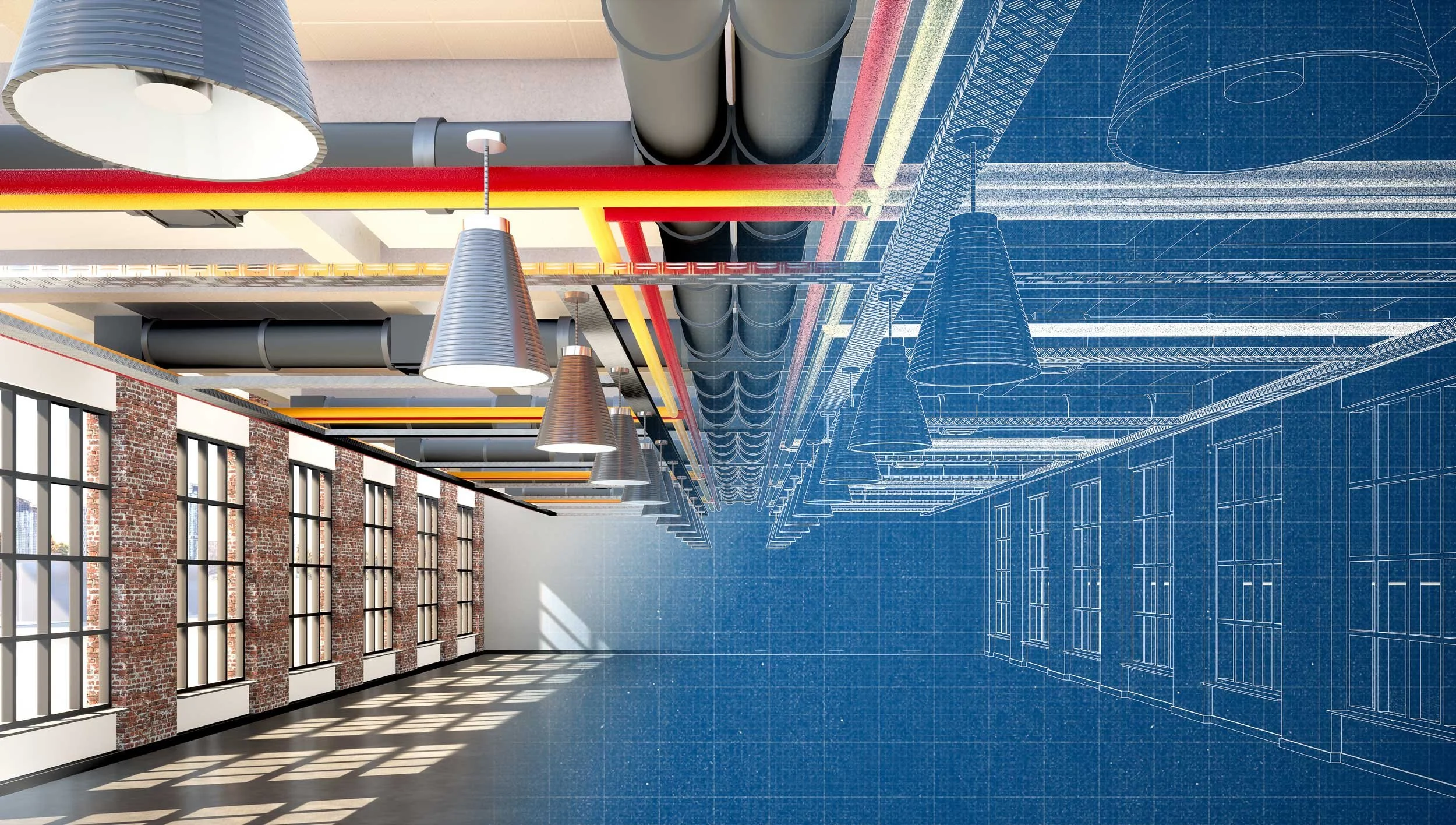
Indoor mapping brings together CAD drawings, BIM models, LiDAR data, and facility records into a centralized GIS system. This creates a clear, location-based understanding of buildings, spaces, and assets.
Instead of relying on static drawings or disconnected systems, teams can navigate buildings, locate assets, and manage facilities through a single, structured platform.
These systems support facility management, safety and security planning, space utilization, and day-to-day operations across complex environments.
Indoor Mapping & GIS Services
-
![]()
Floor Plan Conversion & Creation
Convert existing PDF floor plans or create new CAD drawings from LiDAR and survey data. Deliverables include accurate, standardized floor plans ready for GIS integration.
-
![]()
BIM & CAD Integration
Integrate BIM models and CAD data into a structured indoor GIS system. Deliverables connect design and operational data into one environment.
-
![]()
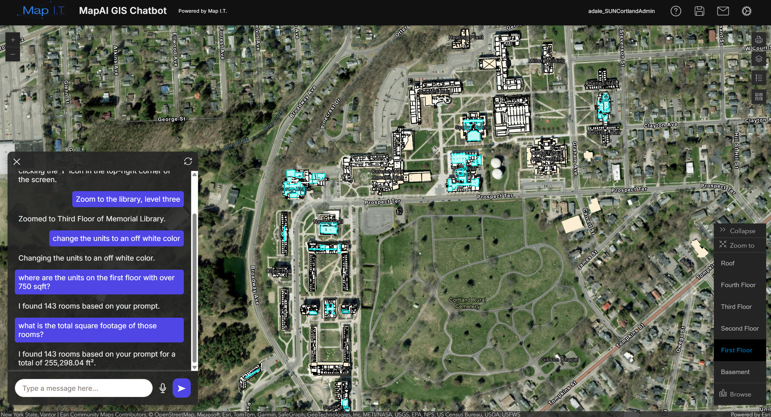
ArcGIS Indoors Implementation
Configure and deploy indoor GIS systems using ArcGIS Indoors. Deliverables include geodatabases, maps, and applications tailored to your organization.
-
![]()
Indoor GIS Data Modeling
Structure buildings, floors, rooms, and assets into a standardized GIS data model. Deliverables support long-term data management and system scalability.
-
![]()
Indoor Wayfinding & Navigation
Create systems that allow users to navigate buildings and campuses. Deliverables support staff, visitors, and emergency response teams.
-
![]()
Asset & Facility Mapping
Map equipment, infrastructure, and spaces within buildings. Deliverables support maintenance, inspections, and operational planning.
-
![]()
Safety & Security Mapping
Provide detailed building data for emergency response and planning. Deliverables include access points, routes, and critical infrastructure visibility.
-
![]()
Space Planning & Utilization
Analyze and manage how space is used across facilities. Deliverables support planning, optimization, and capital improvement projects.
-
![]()
Indoor Applications & Visualization
Develop web and mobile applications that allow users to access and interact with indoor data. Deliverables support operations, communication, and decision-making.


Turn your buildings into a system your team can navigate and manage
Indoor environments are complex. Buildings, floors, assets, and systems need to be understood and managed in a way that supports daily operations, planning, and emergency response.
Map I.T. builds indoor mapping systems that transform floor plans and facility data into a structured GIS environment, making information accessible, accurate, and usable across your organization.