
Digital Twins
Digital Twins for Connecting facility information
Transforming spatial data, 3D models, asset information, and operational data into a connected digital representation of your environment
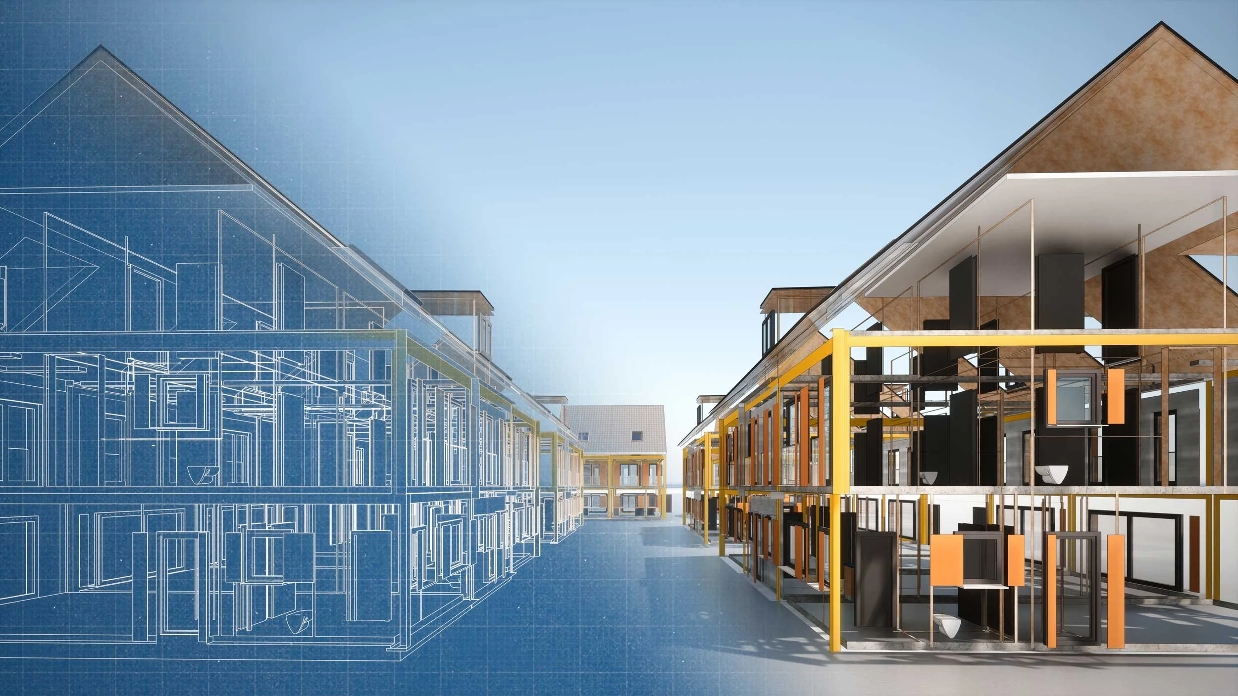
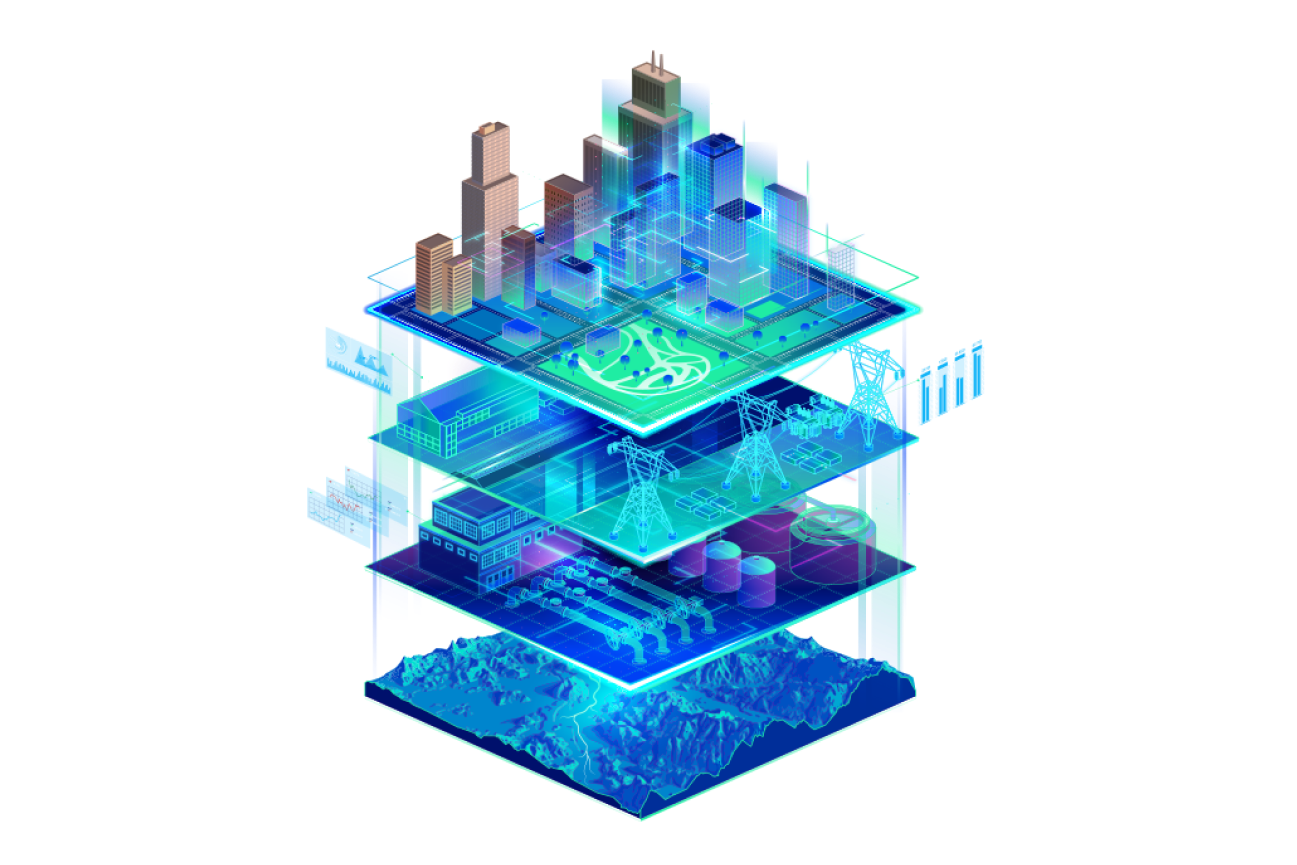
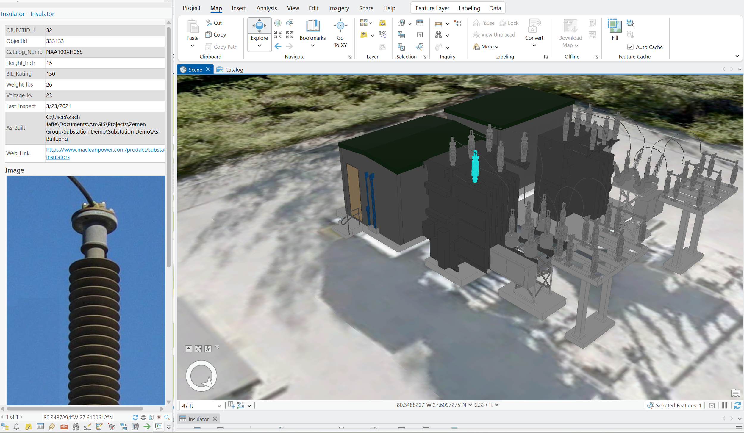
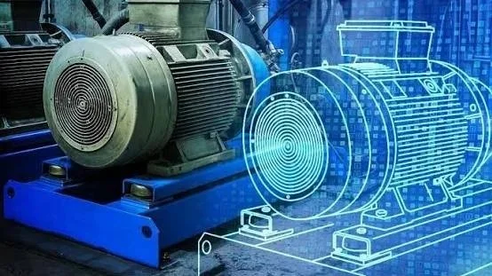
Digital twins are a digital representation of real-world environments. They can combine CAD, 3D models and BIM, GIS, asset information, real-time operational data, and institutional knowledge into an easily accessible environment.
By linking spatial data with the systems teams use every day, organizations gain a clearer view of facilities, assets, and infrastructure. This single source of truth supports visualization, analysis, maintenance, and better decision-making throughout the asset lifecycle.
Digital twin Capabilities
-
![]()
LiDAR Scanning and Reality Capture
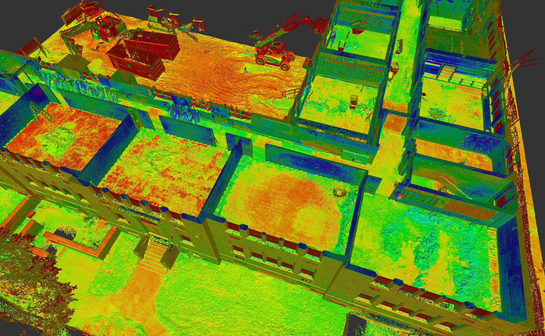
Capture high-density 3D point cloud data for buildings, sites, and infrastructure. These datasets provide the accurate spatial foundation needed to build and maintain a reliable digital twin
-
![]()
3D BIM Modeling
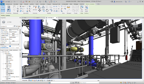
Create detailed 3D BIM models that improve visualization and help teams understand complex spaces, systems, and assets. BIM provides the visual structure that helps make digital-twin information easier to interpret and use
-
![]()
GIS
GIS provides the location-based framework for accessing, visualizing, analyzing, and managing digital-twin information across an organization. It brings disconnected data together in one spatial environment
-
![]()
3rd Party System Integration
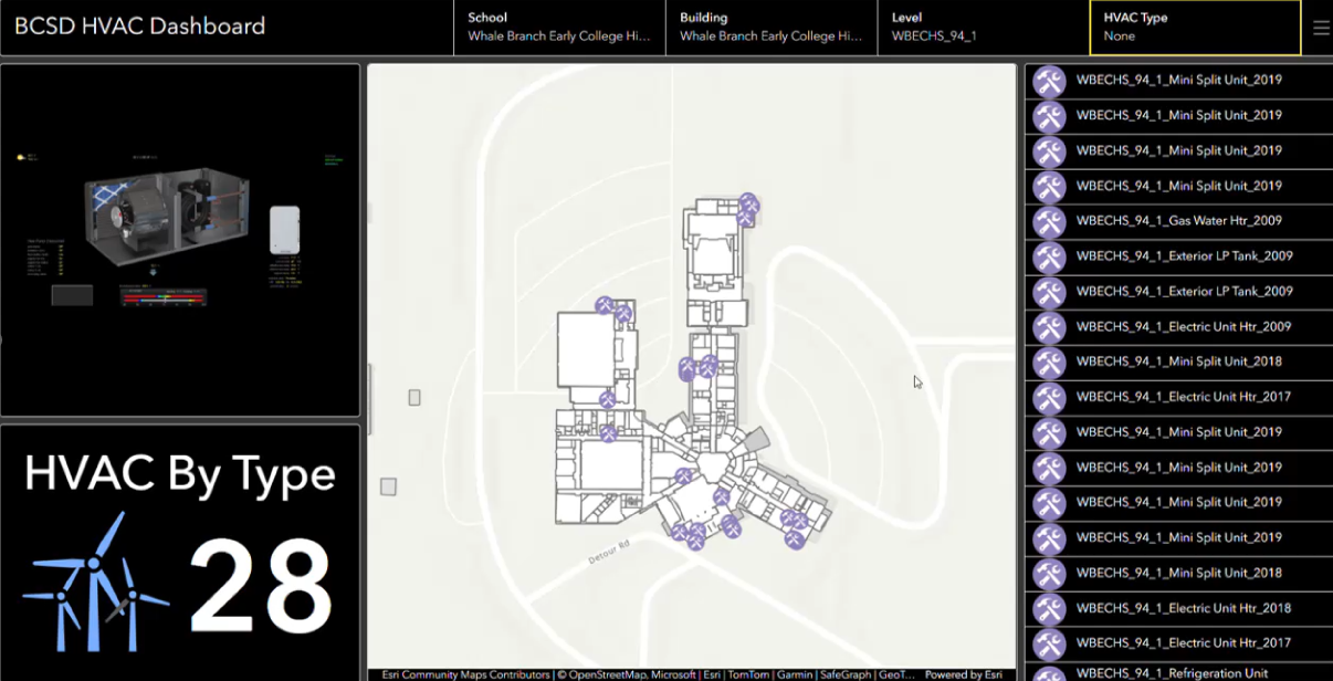
Digital twins can integrate with existing business systems, including work order and asset management, SCADA, real-time sensors, IoT platforms, and other operational systems, to bring information together in one connected environment. This creates a more complete, real-time view of facilities and assets, helping teams monitor conditions, manage work, and make better-informed decisions.
-
![]()
AI
AI can extend the value of a digital twin by helping users search, analyze, and interact with connected spatial, asset, and operational data. Designing digital twins with AI-ready data structures helps organizations prepare for more advanced automation and decision-support capabilities over time
build your digital twin on reliable data
A digital twin is only as valuable as the data behind it. Map I.T. helps organizations collect, structure, and connect spatial, asset, and operational data into a centralized data repository that support visualization, analysis, and day-to-day decision-making.
